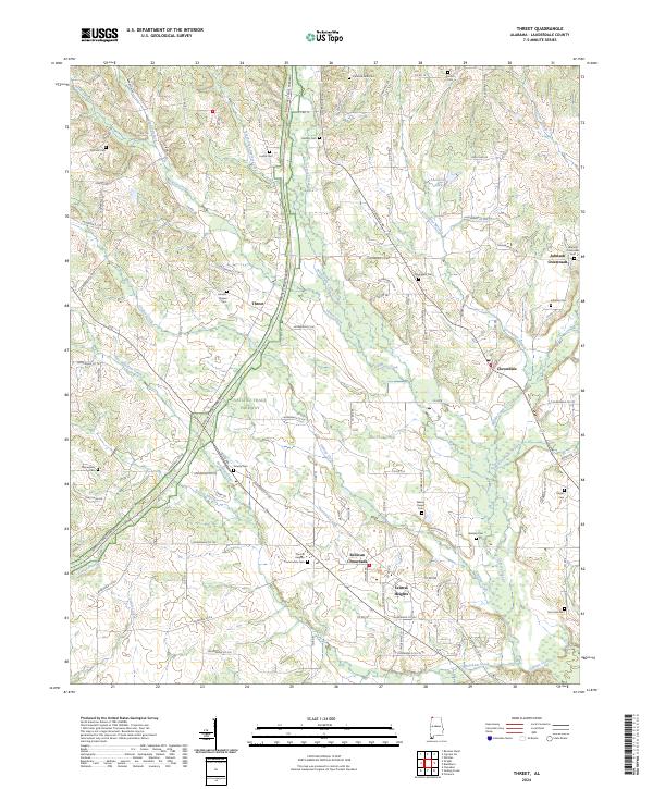
2024 Map of Threet
USGS Topo · Published 2024About this map
Cypress Creek and its many tributaries, including North Fork Cypress Creek and Middle Cypress Creek, carve a drainage network across this Lauderdale County landscape. The Natchez Trace Parkway serves as a modern thoroughfare through the center of the quadrangle, passing near the community of Threet. The area is characterized by a pattern of dispersed crossroads settlements and historic family burial grounds that anchor the local geography. Significant nodes like Sullivan Crossroads and Johnson Crossroads sit alongside established community centers at Central Heights and Cloverdale. Genealogists will find a high density of documented cemeteries, from the Wesley Chapel Cem and Christian Faith Cem to smaller plots like Dowdy Cem and Littleton Cem, many of which are situated near old church sites and rural creek bends.
Find a feature on this map
40 named features on this map. Tap any name to fly to it.
Don’t see what you’re looking for? This feature index may not catch every label — zoom into the map to look around manually.
Map Details
Editions of this 2024 Threet Map
This is the sole edition of this map. No revisions or reprints were ever made.
Other maps of this area

1905 · Waynesboro
USGS Topo · 1:125,000

1914 · Muscle Shoals
USGS Topo · 1:48,000

1916 · Muscle Shoals
USGS Topo · 1:62,500

1924 · Gravelly Springs
USGS Topo · 1:48,000

1926 · Gravelly Springs
USGS Topo · 1:62,500

1935 · Cherokee
USGS Topo · 1:24,000

1935 · Wright
USGS Topo · 1:24,000

1936 · Light
USGS Topo · 1:24,000

1936 · Threet
USGS Topo · 1:24,000

1936 · Cypress Inn
USGS Topo · 1:24,000