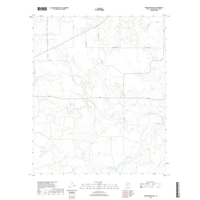
2019 Map of Throckmorton NE
USGS Topo · Published 2019About this map
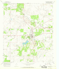
Bush Knob Cr and Elm Cr wind through this section of Throckmorton County, forming a drainage network across a landscape defined by ranching and oil production infrastructure. The presence of Mexican Springs Rd and Conoco Rd indicates the industrial and historical connections of the area, where local transit is managed through a grid of numbered and family-named county roads. Sparse water features like Cooper Lake and N Elm Cr provide critical points of reference in this cattle-country environment. The survey reflects a contemporary view of the rural Texas interior, where the intersection of traditional land use and petroleum extraction is visible in the network of secondary routes like Dunlap Rd and Keeter Rd.
Find a feature on this map
18 named features on this map. Tap any name to fly to it.
Don’t see what you’re looking for? This feature index may not catch every label — zoom into the map to look around manually.
Map Details
Editions of this 2019 Throckmorton NE Map
This is the sole edition of this map. No revisions or reprints were ever made.
Other maps of this area

1954 · Wichita Falls
USGS Topo · 1:250,000

1958 · Wichita Falls
USGS Topo · 1:250,000

1964 · Padgett
USGS Topo · 1:24,000

1965 · Throckmorton NE
USGS Topo · 1:24,000

1966 · Westover SE
USGS Topo · 1:24,000
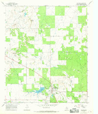
1966 · Woodson
USGS Topo · 1:24,000

1966 · Westover SW
USGS Topo · 1:24,000
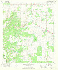
1966 · Sibley Creek
USGS Topo · 1:24,000
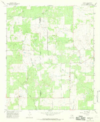
1966 · Murray
USGS Topo · 1:24,000
1966 · Throckmorton
USGS Topo · 1:24,000