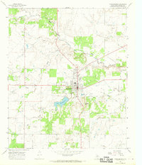
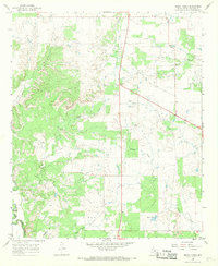
1966 Map of Throckmorton
USGS Topo · Published 1969About this map
The town of Throckmorton serves as the focal point of this mid-1960s survey, situated at the intersection of several regional highways and surrounded by an active landscape of oil wells and gravel pits. The local infrastructure is well-defined, including the County Hospital, a municipal Cem, and a Filtration Plant near the shores of Lake Throckmorton. This reservoir is a significant landmark in an otherwise arid drainage basin defined by North Elm Creek and Horse Creek.
Find a feature on this map
19 named features on this map. Tap any name to fly to it.
Don’t see what you’re looking for? This feature index may not catch every label — zoom into the map to look around manually.
Map Details
Editions of this 1966 Throckmorton Map
2 editions found
Other maps of this area

1954 · Wichita Falls
USGS Topo · 1:250,000

1958 · Wichita Falls
USGS Topo · 1:250,000

1962 · Antelope Creek SE
USGS Topo · 1:24,000

1965 · Throckmorton NE
USGS Topo · 1:24,000

1966 · Westover SE
USGS Topo · 1:24,000
1966 · Woodson
USGS Topo · 1:24,000

1966 · Westover SW
USGS Topo · 1:24,000
1966 · Reynolds Bend
USGS Topo · 1:24,000

1966 · Tonk Creek
USGS Topo · 1:24,000
1966 · Sibley Creek
USGS Topo · 1:24,000