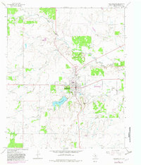
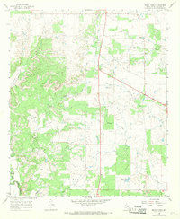
1966 Map of Throckmorton
USGS Topo · Published 1982About this map
Throckmorton serves as the focal point of this West Texas landscape, where the town layout includes essential civic infrastructure such as the County Hospital and a large Cem. The surrounding terrain is defined by the drainage patterns of North Elm Creek and Horse Creek, with Lake Throckmorton providing a significant water resource west of the town center. Local elevation is marked by Thacker Mtn to the southeast, while the economic character of the era is evidenced by an active Oil Field and numerous Oil Wells scattered across the plains.
Find a feature on this map
23 named features on this map. Tap any name to fly to it.
Don’t see what you’re looking for? This feature index may not catch every label — zoom into the map to look around manually.
Map Details
Editions of this 1966 Throckmorton Map
2 editions found
Other maps of this area

1954 · Wichita Falls
USGS Topo · 1:250,000

1958 · Wichita Falls
USGS Topo · 1:250,000

1962 · Antelope Creek SE
USGS Topo · 1:24,000

1965 · Throckmorton NE
USGS Topo · 1:24,000

1966 · Westover SE
USGS Topo · 1:24,000
1966 · Woodson
USGS Topo · 1:24,000

1966 · Westover SW
USGS Topo · 1:24,000
1966 · Reynolds Bend
USGS Topo · 1:24,000

1966 · Tonk Creek
USGS Topo · 1:24,000
1966 · Sibley Creek
USGS Topo · 1:24,000