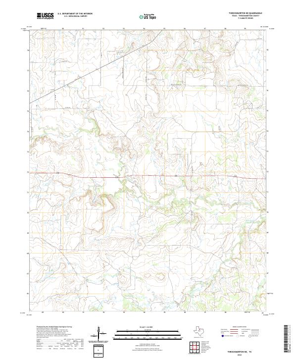
2022 Map of Throckmorton NE
USGS Topo · Published 2022About this map
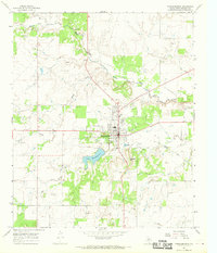
The watershed of N Elm Cr and Elm Cr dominates this corner of Throckmorton County, where the landscape is defined by the winding drainages of the Rolling Plains. The topography is etched by intermittent streams and small water bodies like Cooper Lake, which serve the ranching and agricultural operations common to this part of North Texas. A network of rural county roads provides access across the terrain, including Mexican Springs Rd and several thoroughfares named for local families and industries, such as Keeter Rd, Dunlap Rd, and Conoco Rd. The southern portion of the map is characterized by the meandering path of Bush Knob Cr, illustrating the complex drainage patterns that shape the local geography north of the Brazos River system.
Find a feature on this map
18 named features on this map. Tap any name to fly to it.
Don’t see what you’re looking for? This feature index may not catch every label — zoom into the map to look around manually.
Map Details
Editions of this 2022 Throckmorton NE Map
This is the sole edition of this map. No revisions or reprints were ever made.
Other maps of this area

1954 · Wichita Falls
USGS Topo · 1:250,000

1958 · Wichita Falls
USGS Topo · 1:250,000

1964 · Padgett
USGS Topo · 1:24,000

1965 · Throckmorton NE
USGS Topo · 1:24,000

1966 · Westover SE
USGS Topo · 1:24,000
1966 · Woodson
USGS Topo · 1:24,000

1966 · Westover SW
USGS Topo · 1:24,000
1966 · Sibley Creek
USGS Topo · 1:24,000
1966 · Murray
USGS Topo · 1:24,000
1966 · Throckmorton
USGS Topo · 1:24,000