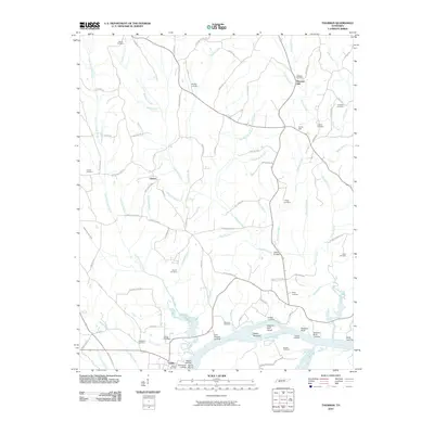
2010 Map of Thurman
USGS Topo · Published 2010About this map
Saltillo and the surrounding Tennessee River bottomlands define this landscape in the early 21st century. The river remains a central artery for the region, marked by numerous historical and modern access points including Saltillo Landing, Swallow Bluff Landing, and the Saltillo Marina. To the north, the terrain transitions into a network of small creeks and ridges, where settlements like Pleasant Hill and Liberty are connected by a web of local routes such as Willie Holland Rd and Jim Hayes Rd. Numerous family and community burial grounds, such as Lafferty Cemetery and Bethel Cemetery, are scattered across the quadrangle, serving as vital touchstones for genealogical research. The presence of Union Hall and the geographic marker at Double Bridges further illustrate the enduring community structure of this river-aligned corner of Hardin County.
Find a feature on this map
104 named features on this map. Tap any name to fly to it.
Don’t see what you’re looking for? This feature index may not catch every label — zoom into the map to look around manually.
Map Details
Editions of this 2010 Thurman Map
This is the sole edition of this map. No revisions or reprints were ever made.
Other maps of this area

1936 · Hookers Bend
USGS Topo · 1:24,000

1936 · Scotts Hill
USGS Topo · 1:24,000

1936 · Thurman
USGS Topo · 1:24,000

1936 · Olivehill
USGS Topo · 1:24,000

1936 · Bath Springs
USGS Topo · 1:24,000

1936 · Sardis
USGS Topo · 1:24,000

1936 · Reagan
USGS Topo · 1:24,000

1936 · Milledgeville
USGS Topo · 1:24,000

1936 · Perryville
USGS Topo · 1:24,000

1949 · Perryville
USGS Topo · 1:24,000