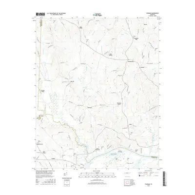
2016 Map of Thurman
USGS Topo · Published 2016About this map
Saltillo serves as a primary riverfront hub along the southern edge of this West Tennessee landscape, where the Tennessee River creates complex terrain features like Swallow Bluff Island and Dickey Towhead. The interior is characterized by a dense network of rural communities and crossroads, including the curiously named Lick Skillet, Thurman, and Montgomery. This area is rich in genealogical markers, evidenced by numerous family-named burial grounds such as Adkisson Cem, Lafferty Cem, and Johnston Cem.
Find a feature on this map
131 named features on this map. Tap any name to fly to it.
Don’t see what you’re looking for? This feature index may not catch every label — zoom into the map to look around manually.
Map Details
Editions of this 2016 Thurman Map
This is the sole edition of this map. No revisions or reprints were ever made.
Other maps of this area

1936 · Hookers Bend
USGS Topo · 1:24,000

1936 · Scotts Hill
USGS Topo · 1:24,000

1936 · Thurman
USGS Topo · 1:24,000

1936 · Olivehill
USGS Topo · 1:24,000

1936 · Bath Springs
USGS Topo · 1:24,000

1936 · Sardis
USGS Topo · 1:24,000

1936 · Reagan
USGS Topo · 1:24,000

1936 · Milledgeville
USGS Topo · 1:24,000

1936 · Perryville
USGS Topo · 1:24,000

1949 · Perryville
USGS Topo · 1:24,000