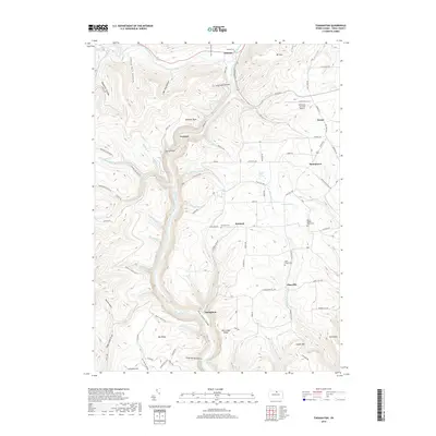
2019 Map of Tiadaghton
USGS Topo · Published 2019About this map
Pine Creek Gorge dominates this landscape, carving a deep path through the plateau where Colton Point State Park offers views from its western rim. High above the water, scattered settlements like Ansonia, Kennedy, and Tiadaghton are linked by a network of rural roads such as Painter Leetonia Rd and State Rte 660. This 2019 survey documents a terrain defined by steep drainage systems, including Owassee-Slide Run and Pinafore Run, which flow into the central gorge. For researchers, the map provides precise locations for several burial grounds, including the West Branch Cem and Ansonia Cem. The presence of the Wellsboro Johnston Airport in the northeast near Dexter contrasts with the heavily wooded hollows and ridges like Red Ledge Ridge and Big Ridge that characterize this part of Tioga County.
Find a feature on this map
95 named features on this map. Tap any name to fly to it.
Don’t see what you’re looking for? This feature index may not catch every label — zoom into the map to look around manually.
Map Details
Editions of this 2019 Tiadaghton Map
This is the sole edition of this map. No revisions or reprints were ever made.
Other maps of this area

1899 · Gaines
USGS Topo · 1:62,500

1900 · Gaines
USGS Topo · 1:62,500

1900 · Elkland
USGS Topo · 1:62,500

1946 · Tiadaghton
USGS Topo · 1:24,000

1946 · Antrim
USGS Topo · 1:62,500

1946 · Cedar Run
USGS Topo · 1:24,000

1946 · Antrim
USGS Topo · 1:24,000

1946 · Morris
USGS Topo · 1:24,000

1947 · Galeton
USGS Topo · 1:62,500

1947 · Lee Fire Tower
USGS Topo · 1:24,000
Featured Places
- Morris Township, PA
- Gaines Township, PA
- Elk Township, PA
- Thumptown, Delmar Township
- Owassee, Shippen Township