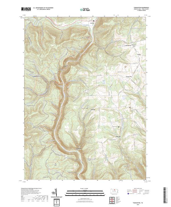
2023 Map of Tiadaghton
USGS Topo · Published 2023About this map
Pine Creek Gorge dominates this northern Pennsylvania landscape, where the Pine Creek Rail Trl now follows the winding watercourse through deep valleys like Strap Mill Hollow and Bee Tree Hollow. Small settlements and family names are concentrated in the flatter highlands and tributary valleys, including Ansonia, Kennedy, and Olmsville. This contemporary survey illustrates the transformation of industrial infrastructure into recreational space, notably where the rail line has become a trail. Genealogists will find several burial sites including Kennedy Cem and Ansonia Cem, while aviation history is represented by the Grand Canyon Regional Airport. Landmark vistas such as Colton Point and Barbour Rock overlook the gorge, while numerous snowmobile and ski trails like the Bee-Tree-Ski-Trl cross the surrounding Tioga State Forest.
Find a feature on this map
80 named features on this map. Tap any name to fly to it.
Don’t see what you’re looking for? This feature index may not catch every label — zoom into the map to look around manually.
Map Details
Editions of this 2023 Tiadaghton Map
This is the sole edition of this map. No revisions or reprints were ever made.
Other maps of this area

1899 · Gaines
USGS Topo · 1:62,500

1900 · Gaines
USGS Topo · 1:62,500

1900 · Elkland
USGS Topo · 1:62,500

1946 · Tiadaghton
USGS Topo · 1:24,000

1946 · Antrim
USGS Topo · 1:62,500

1946 · Cedar Run
USGS Topo · 1:24,000

1946 · Antrim
USGS Topo · 1:24,000

1946 · Morris
USGS Topo · 1:24,000

1947 · Galeton
USGS Topo · 1:62,500

1947 · Lee Fire Tower
USGS Topo · 1:24,000