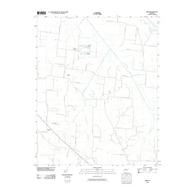
2010 Map of Tibbs
USGS Topo · Published 2010About this map
The South Fork Forked Deer River defines the northeast corner of this Haywood County landscape, which is characterized by a dense network of local roads and small drainage systems. Water management is a central feature of the area, evidenced by numerous small impoundments such as Eubanks Lake, Duffy Lake, and Melton Lake, each supported by its respective structure like Eubanks Dam and Melton Dam.
Find a feature on this map
52 named features on this map. Tap any name to fly to it.
Don’t see what you’re looking for? This feature index may not catch every label — zoom into the map to look around manually.
Map Details
Editions of this 2010 Tibbs Map
This is the sole edition of this map. No revisions or reprints were ever made.
Other maps of this area

1939 · Halls
USGS Topo · 1:62,500

1950 · Sunnyhill
USGS Topo · 1:24,000

1950 · Brownsville
USGS Topo · 1:24,000

1951 · Brownsville
USGS Topo · 1:24,000

1951 · Sunnyhill
USGS Topo · 1:24,000

1952 · Gates
USGS Topo · 1:24,000

1952 · Chestnut Bluff
USGS Topo · 1:24,000

1956 · Blytheville
USGS Topo · 1:250,000

1959 · Blytheville
USGS Topo · 1:250,000

1961 · Jones
USGS Topo · 1:24,000