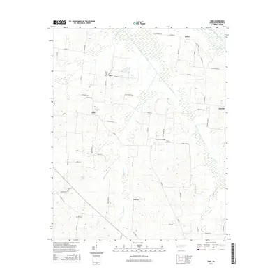
2016 Map of Tibbs
USGS Topo · Published 2016About this map
Christmasville and the surrounding Haywood County countryside are defined by a complex network of small creeks and local family-named roads. This agricultural landscape in West Tennessee is centered around the headwaters of Nixon Creek and Meridian Creek, where the terrain transitions into the wetlands of the South Fork Forked Deer River. Small settlements such as Tibbs and Shaw serve as historical anchors for the region, often marked by localized cemeteries that reflect the area's genealogical depth.
Find a feature on this map
66 named features on this map. Tap any name to fly to it.
Don’t see what you’re looking for? This feature index may not catch every label — zoom into the map to look around manually.
Map Details
Editions of this 2016 Tibbs Map
This is the sole edition of this map. No revisions or reprints were ever made.
Other maps of this area

1939 · Halls
USGS Topo · 1:62,500

1950 · Sunnyhill
USGS Topo · 1:24,000

1950 · Brownsville
USGS Topo · 1:24,000

1951 · Brownsville
USGS Topo · 1:24,000

1951 · Sunnyhill
USGS Topo · 1:24,000

1952 · Gates
USGS Topo · 1:24,000

1952 · Chestnut Bluff
USGS Topo · 1:24,000

1956 · Blytheville
USGS Topo · 1:250,000

1959 · Blytheville
USGS Topo · 1:250,000

1961 · Jones
USGS Topo · 1:24,000