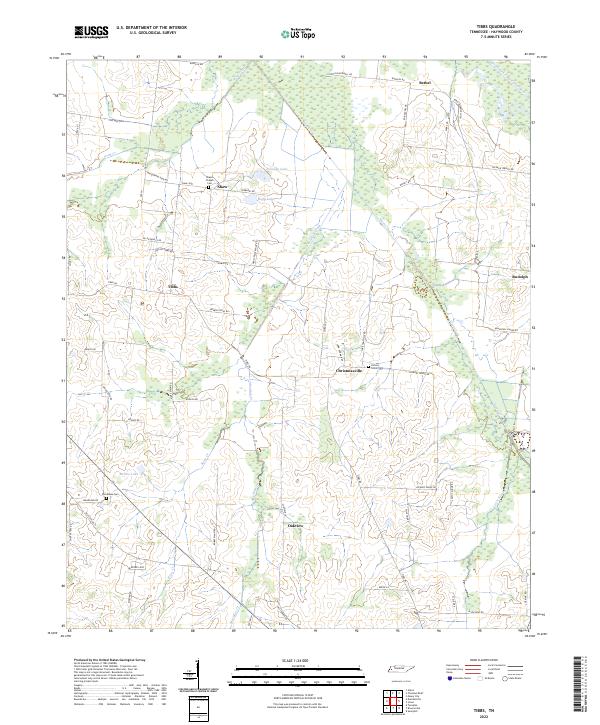
2022 Map of Tibbs
USGS Topo · Published 2022About this map
Christmasville and Oakview anchor this agricultural landscape in Haywood County, where the terrain is defined by the drainage of the South Fork Forked Deer River. The map reveals a network of rural settlements connected by roads often named for local families, including Henly-Felsenthal Rd and Mary Dixon Rd. For genealogists and local historians, several burial grounds are scattered across the landscape, such as Shaws Chapel Cem near Shaw and Hickory Grove Cem situated east of the Meridian Creek valley. The hydrology of the area is particularly complex, with Nixon Creek, Pond Creek, and Briar Cr winding through wetlands and feed into small bodies of water like Duffy Lake and Eubanks Lake. This document captures the modern state of these small West Tennessee communities and their enduring rural infrastructure.
Find a feature on this map
66 named features on this map. Tap any name to fly to it.
Don’t see what you’re looking for? This feature index may not catch every label — zoom into the map to look around manually.
Map Details
Editions of this 2022 Tibbs Map
This is the sole edition of this map. No revisions or reprints were ever made.
Other maps of this area

1939 · Halls
USGS Topo · 1:62,500

1950 · Sunnyhill
USGS Topo · 1:24,000

1950 · Brownsville
USGS Topo · 1:24,000

1951 · Brownsville
USGS Topo · 1:24,000

1951 · Sunnyhill
USGS Topo · 1:24,000

1952 · Gates
USGS Topo · 1:24,000

1952 · Chestnut Bluff
USGS Topo · 1:24,000

1956 · Blytheville
USGS Topo · 1:250,000

1959 · Blytheville
USGS Topo · 1:250,000

1961 · Jones
USGS Topo · 1:24,000