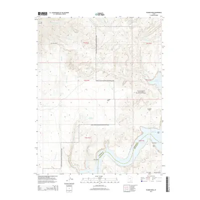
2014 Map of Ticaboo Mesa
USGS Topo · Published 2014About this map
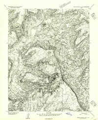
Ticaboo Mesa dominates the central portion of this 2014 survey, providing a detailed view of the high desert terrain as it drops toward Lake Powell and the winding course of Glen Canyon. The map reveals a complex network of ephemeral drainage systems including Sevenmile Cr, Smith Fork, and multiple branches of Ticaboo Cr that have carved deep into the plateau. In this arid environment, reliable water sources are specifically identified, such as Ticaboo Shelf Spring, Colt Spring, and Wild Horse Spring.
Find a feature on this map
30 named features on this map. Tap any name to fly to it.
Don’t see what you’re looking for? This feature index may not catch every label — zoom into the map to look around manually.
Map Details
Editions of this 2014 Ticaboo Mesa Map
This is the sole edition of this map. No revisions or reprints were ever made.
Other maps of this area

1886 · Henry Mountains
USGS Topo · 1:250,000

1892 · Henry Mountains
USGS Topo · 1:250,000
1952 · Mt Pennell 1 SW
USGS Topo · 1:24,000
1952 · Mancos Mesa
USGS Topo · 1:62,500
1952 · Mt Hillers
USGS Topo · 1:62,500
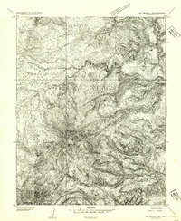
1952 · Mt Pennell 1 SE
USGS Topo · 1:24,000
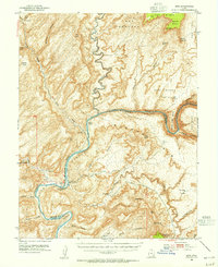
1952 · Hite
USGS Topo · 1:62,500
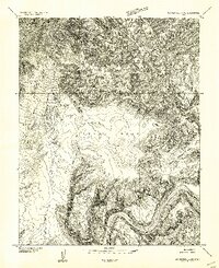
1953 · Mt Pennell 4 NE
USGS Topo · 1:24,000
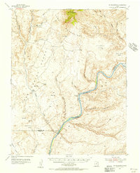
1953 · Mt. Ellsworth
USGS Topo · 1:62,500
1954 · White Canyon 3 NW
USGS Topo · 1:24,000