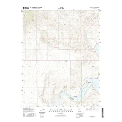
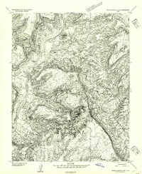
2017 Map of Ticaboo Mesa
USGS Topo · Published 2017About this map
Glen Canyon National Recreation Area dominates the landscape where the Colorado River enters Lake Powell, revealing a complex network of drainages and mesas in San Juan and Garfield counties. The topography is defined by the high elevations of the Henry Mountains, including Mt Ellsworth and the Little Rockies, which overlook the expansive Ticaboo Mesa. Water sources are critical in this arid environment, evidenced by the presence of Ticaboo Reservoir and several natural springs like Ticaboo Shelf Spring, Colt Spring, and Wild Horse Spring. In the southeast, the canyon walls drop toward the water's edge at The Rincon and Trail Cliff. This 2017 survey details the dramatic transition from the Red Rock Plateau down to the riverbed, showing how the drainage of Smith Fork and Warm Springs Cr shape the erosion patterns between Good Hope Mesa and the surrounding wilderness.
Find a feature on this map
32 named features on this map. Tap any name to fly to it.
Don’t see what you’re looking for? This feature index may not catch every label — zoom into the map to look around manually.
Map Details
Editions of this 2017 Ticaboo Mesa Map
This is the sole edition of this map. No revisions or reprints were ever made.
Other maps of this area

1886 · Henry Mountains
USGS Topo · 1:250,000

1892 · Henry Mountains
USGS Topo · 1:250,000
1952 · Mt Pennell 1 SW
USGS Topo · 1:24,000
1952 · Mancos Mesa
USGS Topo · 1:62,500
1952 · Mt Hillers
USGS Topo · 1:62,500
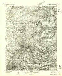
1952 · Mt Pennell 1 SE
USGS Topo · 1:24,000
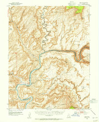
1952 · Hite
USGS Topo · 1:62,500
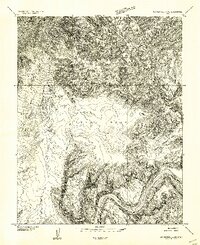
1953 · Mt Pennell 4 NE
USGS Topo · 1:24,000
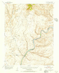
1953 · Mt. Ellsworth
USGS Topo · 1:62,500
1954 · White Canyon 3 NW
USGS Topo · 1:24,000