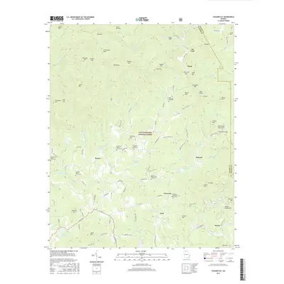
2017 Map of Tickanetley
USGS Topo · Published 2017About this map
Tickanetley sits within the high ridges of the Chattahoochee National Forest, where the landscape is defined by its numerous small settlements and scattered country churches. This 2017 topographic study highlights a geography of high peaks like Tickanetley Bald and Rich Mtn, separated by deep gaps such as Steamy Gap and Hardslate Gap. The area is notably dense with localized community landmarks, particularly Baptist churches and their accompanying cemeteries, which provide significant genealogical anchor points for the region.
Find a feature on this map
119 named features on this map. Tap any name to fly to it.
Don’t see what you’re looking for? This feature index may not catch every label — zoom into the map to look around manually.
Map Details
Editions of this 2017 Tickanetley Map
This is the sole edition of this map. No revisions or reprints were ever made.
Other maps of this area

1888 · Ellijay
USGS Topo · 1:125,000

1892 · Ellijay
USGS Topo · 1:125,000

1898 · Ellijay
USGS Topo · 1:125,000

1911 · Ellijay
USGS Topo · 1:125,000

1935 · Noontootla
USGS Topo · 1:24,000
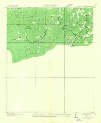
1935 · Cashes Valley
USGS Topo · 1:24,000

1935 · Lake Toccoa
USGS Topo · 1:24,000

1935 · Tickanetley
USGS Topo · 1:24,000
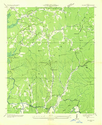
1935 · Wilscot
USGS Topo · 1:24,000
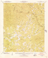
1946 · Tickanetley
USGS Topo · 1:24,000