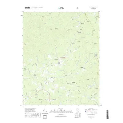
2020 Map of Tickanetley
USGS Topo · Published 2020About this map
Tickanetley and the surrounding high country of Gilmer County are defined by a network of Baptist congregations and family-named ridges within the Chattahoochee National Forest. This 2020 survey reveals a landscape where deep-rooted communities like Diamond, Rolston, and Quill are anchored by their respective houses of worship, such as the Tickanetley Primitive Baptist Church Cem and New Liberty Baptist Church Cem. The terrain is characterized by numerous gaps and tops, including Steamy Gap and Columbia Top, which dictate the winding paths of roads like Old Bucktown Rd and Rainbow Hill Rd. Hydrological features like the Cartecay River and Garland Lake drain the high peaks of Rich Mtn and Tickanetley Bald, illustrating the rugged drainage patterns that have shaped North Georgia mountain life for generations.
Find a feature on this map
132 named features on this map. Tap any name to fly to it.
Don’t see what you’re looking for? This feature index may not catch every label — zoom into the map to look around manually.
Map Details
Editions of this 2020 Tickanetley Map
This is the sole edition of this map. No revisions or reprints were ever made.
Other maps of this area

1888 · Ellijay
USGS Topo · 1:125,000

1892 · Ellijay
USGS Topo · 1:125,000

1898 · Ellijay
USGS Topo · 1:125,000

1911 · Ellijay
USGS Topo · 1:125,000

1935 · Noontootla
USGS Topo · 1:24,000
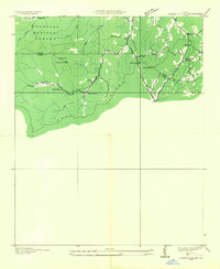
1935 · Cashes Valley
USGS Topo · 1:24,000

1935 · Lake Toccoa
USGS Topo · 1:24,000

1935 · Tickanetley
USGS Topo · 1:24,000
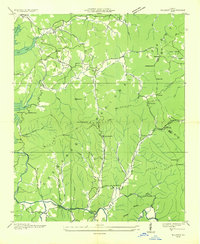
1935 · Wilscot
USGS Topo · 1:24,000
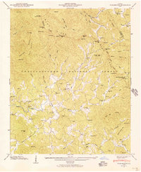
1946 · Tickanetley
USGS Topo · 1:24,000