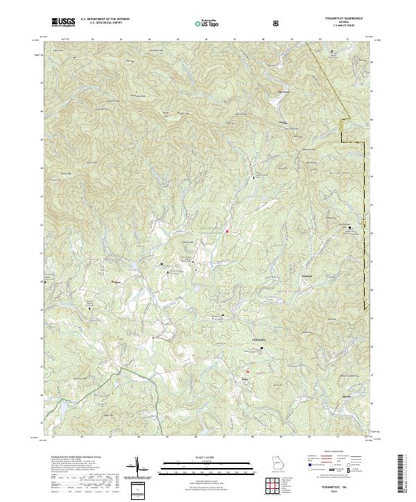
2024 Map of Tickanetley
USGS Topo · Published 2024About this map
Rich Mountain Wilderness and the Chattahoochee National Forest dominate the topography of this Georgia interior, where steep ridgelines such as Tickanetley Bald and Columbia Top dictate the path of local commerce and settlement. The Cartecay River and Big Creek drain these peaks, creating the valleys that support small communities like Tickanetley, Pisgah, and Marion. The map reveals a landscape deeply connected to its faith and ancestry, evidenced by the numerous small congregations and burial grounds like East New Hope Baptist Church Cem and the Tickanetley Primitive Baptist Church Cem that serve these dispersed mountain hamlets.
Find a feature on this map
161 named features on this map. Tap any name to fly to it.
Don’t see what you’re looking for? This feature index may not catch every label — zoom into the map to look around manually.
Map Details
Editions of this 2024 Tickanetley Map
This is the sole edition of this map. No revisions or reprints were ever made.
Other maps of this area

1888 · Ellijay
USGS Topo · 1:125,000

1892 · Ellijay
USGS Topo · 1:125,000

1898 · Ellijay
USGS Topo · 1:125,000

1911 · Ellijay
USGS Topo · 1:125,000

1935 · Noontootla
USGS Topo · 1:24,000
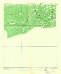
1935 · Cashes Valley
USGS Topo · 1:24,000

1935 · Lake Toccoa
USGS Topo · 1:24,000

1935 · Tickanetley
USGS Topo · 1:24,000
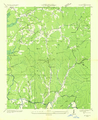
1935 · Wilscot
USGS Topo · 1:24,000
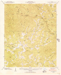
1946 · Tickanetley
USGS Topo · 1:24,000