
1935 Map of Tickanetley
USGS Topo · Published 1935About this map
The Cherokee National Forest and Blue Ridge mountain range dominate this landscape along the border of Gilmer and Fannin counties. This 1935 survey captures a network of small, rural community centers established along the narrow valley floors and mountain passes. Names like Clarks Mill and Stanley Mill suggest a localized agrarian economy dependent on water power from the numerous branches and creeks feeding into Big Creek. The integration of social life into the terrain is evident in combined landmarks like Pisgah Big Creek Sch and Mathis Chapel Sch, where education and worship served these mountain settlements. High-altitude landmarks like Rich Mtn Rich Lookout and Tickanetley Bald define the northern and western reaches, while passes such as Hard Slate Gap and Double Head Gap mark the historic routes through the North Georgia mountains.
Find a feature on this map
29 named features on this map. Tap any name to fly to it.
Don’t see what you’re looking for? This feature index may not catch every label — zoom into the map to look around manually.
Map Details
Editions of this 1935 Tickanetley Map
This is the sole edition of this map. No revisions or reprints were ever made.
Other maps of this area

1888 · Ellijay
USGS Topo · 1:125,000

1892 · Ellijay
USGS Topo · 1:125,000

1898 · Ellijay
USGS Topo · 1:125,000

1911 · Ellijay
USGS Topo · 1:125,000

1935 · Noontootla
USGS Topo · 1:24,000
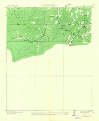
1935 · Cashes Valley
USGS Topo · 1:24,000

1935 · Lake Toccoa
USGS Topo · 1:24,000
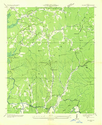
1935 · Wilscot
USGS Topo · 1:24,000
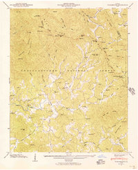
1946 · Tickanetley
USGS Topo · 1:24,000
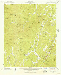
1946 · Cashes Valley
USGS Topo · 1:24,000