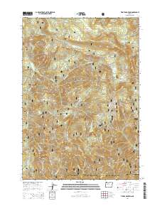
2014 Map of Tidbits Mountain
USGS Topo · Published 2014About this map
Tidbits Mountain and the high ridges of the Cascade Range dominate this 2014 survey of the central Oregon wilderness. Spanning the boundary between Linn and Lane Counties, the landscape is defined by its complex network of drainage basins and forest service infrastructure. The headwaters of the Calapooia River emerge here, joined by numerous mountain streams like Seventeen Cr and Eighteen Cr as they flow through the Willamette National Forest.
Find a feature on this map
41 named features on this map. Tap any name to fly to it.
Don’t see what you’re looking for? This feature index may not catch every label — zoom into the map to look around manually.
Map Details
Editions of this 2014 Tidbits Mountain Map
This is the sole edition of this map. No revisions or reprints were ever made.
Other maps of this area
1934 · Mc Kenzie Bridge
USGS Topo · 1:96,000
1940 · Mc Kenzie Bridge
USGS Topo · 1:125,000
1953 · Salem
USGS Topo · 1:250,000
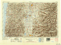
1954 · Salem
USGS Topo · 1:250,000
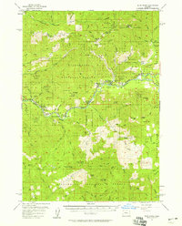
1955 · Blue River
USGS Topo · 1:62,500
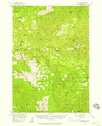
1955 · Cascadia
USGS Topo · 1:62,500
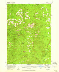
1955 · Echo Mountain
USGS Topo · 1:62,500
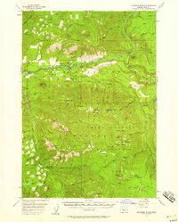
1955 · Mc Kenzie Bridge
USGS Topo · 1:62,500
1960 · Salem
USGS Topo · 1:250,000
1962 · Salem
USGS Topo · 1:250,000