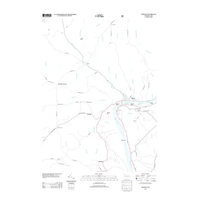
2013 Map of Tidioute
USGS Topo · Published 2013About this map
The Allegheny River carves a deep valley through this portion of Warren County, where the historic borough of Tidioute sits along the northern bank. The river is punctuated by several prominent landforms including Tidioute Island, McGuire Island, and Siggias Island, with the notable Courson Eddy and Lower Eddy marking the shifting currents. The surrounding uplands are dotted with small settlements like Triumph, Fagundus, and Grandin, connected by a network of winding roads such as Tidioute Enterprise Rd and Campbell Hill Rd. On the heights above the river, the Tidioute Overlook provides a vantage point over the water, while the Russian Houses and Economite Hill suggest the unique cultural and communal heritage of the region. The landscape is heavily dissected by tributary streams like Tidioute Creek, West Hickory Creek, and Gordon Run, which have shaped the local topography for generations.
Find a feature on this map
71 named features on this map. Tap any name to fly to it.
Don’t see what you’re looking for? This feature index may not catch every label — zoom into the map to look around manually.
Map Details
Editions of this 2013 Tidioute Map
This is the sole edition of this map. No revisions or reprints were ever made.
Other maps of this area

1926 · Youngsville
USGS Topo · 1:62,500

1927 · Tidioute
USGS Topo · 1:48,000

1927 · Titusville
USGS Topo · 1:62,500

1929 · Corry
USGS Topo · 1:48,000

1929 · Youngsville
USGS Topo · 1:62,500

1930 · Tidioute
USGS Topo · 1:62,500

1932 · Corry
USGS Topo · 1:62,500

1933 · Titusville
USGS Topo · 1:62,500

1943 · Youngsville
USGS Topo · 1:62,500

1957 · Warren
USGS Topo · 1:250,000