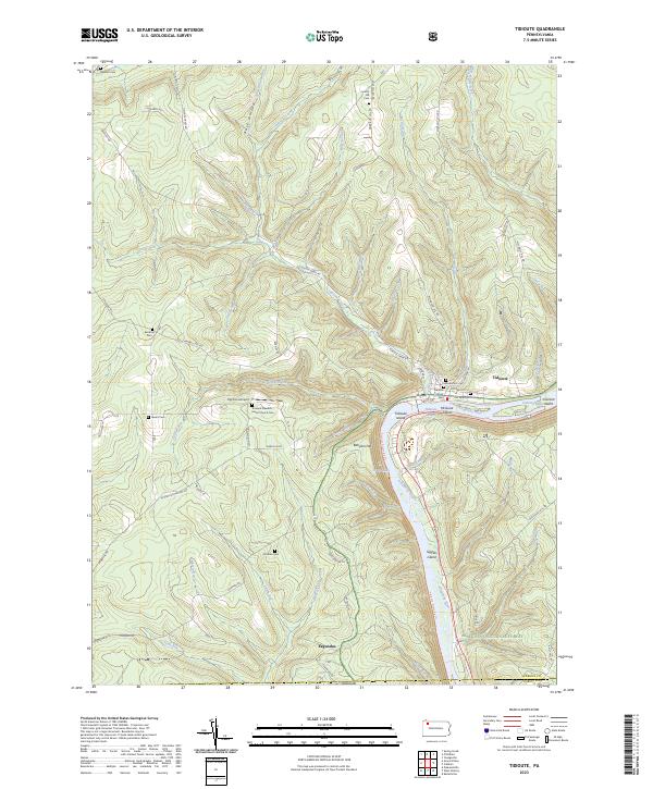
2023 Map of Tidioute
USGS Topo · Published 2023About this map
The Allegheny River defines the landscape of this region, winding past the town of Tidioute and through the Allegheny Islands Wilderness. This river corridor, designated as the Allegheny Wild and Scenic River, is punctuated by a string of islands including Tidioute Island, McGuire Island, and Siggius Island. The surrounding plateau is deeply incised by numerous tributaries like Tidioute Creek and Gordon Run, creating a complex network of ridges such as Babylon Hill and Sutton Hill.
Find a feature on this map
73 named features on this map. Tap any name to fly to it.
Don’t see what you’re looking for? This feature index may not catch every label — zoom into the map to look around manually.
Map Details
Editions of this 2023 Tidioute Map
This is the sole edition of this map. No revisions or reprints were ever made.
Other maps of this area

1926 · Youngsville
USGS Topo · 1:62,500

1927 · Tidioute
USGS Topo · 1:48,000

1927 · Titusville
USGS Topo · 1:62,500

1929 · Corry
USGS Topo · 1:48,000

1929 · Youngsville
USGS Topo · 1:62,500

1930 · Tidioute
USGS Topo · 1:62,500

1932 · Corry
USGS Topo · 1:62,500

1933 · Titusville
USGS Topo · 1:62,500

1943 · Youngsville
USGS Topo · 1:62,500

1957 · Warren
USGS Topo · 1:250,000