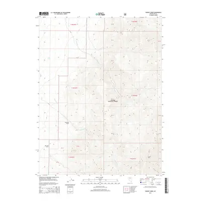
2014 Map of Tierney Creek
USGS Topo · Published 2014About this map
Toiyabe National Forest dominates this high-altitude landscape in Nye County, where the Toiyabe Range defines the local drainage and terrain. The map captures a transition of seasonal waterways, including Tierney Cr, San Juan Cr, and Marysville Cr, which carve deep incisions through the mountains. Topographical highlights include the prominent French Peak and the geological formations of Marysville Canyon and New York Canyon. While the area is largely characterized by its natural features and forest boundaries, the inclusion of Coyote Spring indicates the critical importance of water sources in this arid Nevada environment. The network of forest roads and land survey divisions reflects the ongoing management and administrative structure of these public lands in the early 21st century.
Find a feature on this map
26 named features on this map. Tap any name to fly to it.
Don’t see what you’re looking for? This feature index may not catch every label — zoom into the map to look around manually.
Map Details
Editions of this 2014 Tierney Creek Map
This is the sole edition of this map. No revisions or reprints were ever made.
Other maps of this area

1907 · Tonopah
USGS Topo · 1:250,000

1908 · Tonopah
USGS Topo · 1:250,000

1955 · Millett
USGS Topo · 1:250,000
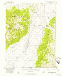
1956 · North Shoshone Peak
USGS Topo · 1:62,500
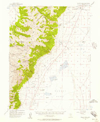
1956 · Millett Ranch
USGS Topo · 1:62,500

1956 · Tonopah
USGS Topo · 1:250,000

1959 · Tonopah
USGS Topo · 1:250,000

1959 · Millett
USGS Topo · 1:250,000

1962 · Tonopah
USGS Topo · 1:250,000
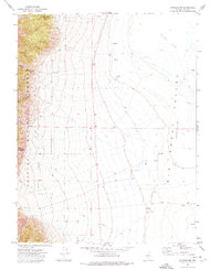
1971 · Carvers NW
USGS Topo · 1:24,000