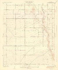
1933 Map of Tierra Bonita
USGS Topo · Published 1933About this map
Antelope Valley is depicted here in the early 1930s as a landscape of grid-aligned avenues and sparse rural settlements. The influence of the Los Angeles County Surveyor is evident in the meticulously planned road network, including Avenue J, Avenue K, and Avenue L, which overlay the arid terrain. Education and community life are anchored at the Tierra Bonita Sch in the northern portion of the quadrangle, while the southern reach includes the Twin Joshua Rancho. The eastern boundary is defined by the wandering path of Little Rock and the braided Little Rock Wash, with several scattered wells indicating the critical importance of water access for these high desert homesteads. This era shows the region before the intense suburban expansion of later decades, preserving a view of the original ranching and agricultural tracts.
Find a feature on this map
16 named features on this map. Tap any name to fly to it.
Don’t see what you’re looking for? This feature index may not catch every label — zoom into the map to look around manually.
Map Details
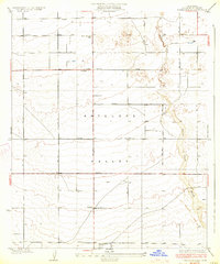
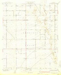
Editions of this 1933 Tierra Bonita Map
3 editions found
Other maps of this area

1915 · Elizabeth Lake
USGS Topo · 1:125,000

1917 · Elizabeth Lake
USGS Topo · 1:125,000

1930 · Oban
USGS Topo · 1:24,000

1930 · Roosevelt School
USGS Topo · 1:24,000

1930 · Little Rock
USGS Topo · 1:24,000

1930 · Casa Desierta
USGS Topo · 1:24,000

1930 · Lancaster
USGS Topo · 1:24,000

1930 · Pearland
USGS Topo · 1:24,000

1930 · West Alpine Butte
USGS Topo · 1:24,000

1930 · Tierra Bonita
USGS Topo · 1:24,000