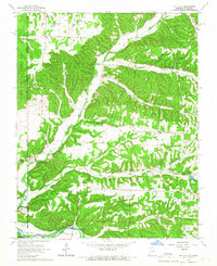
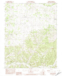
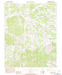
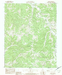
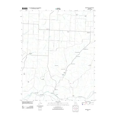
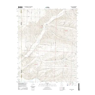
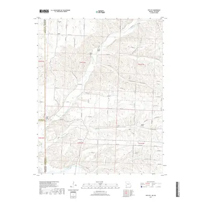
1965 Map of Tiff City
USGS Topo · Published 1966About this map
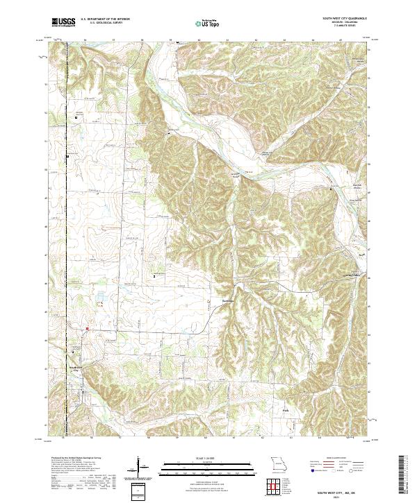
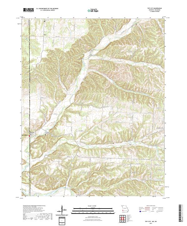
The Council House Indian Reservation and Seneca Indian Reservation define the western border of this 1960s landscape where Missouri meets Oklahoma. This rural region is organized around the convergence of Buffalo Creek and Patterson Creek, which flow toward the Elk River in the south. The settlement of Tiff City serves as a local hub near the state line, while the smaller community of Hart is anchored by the Hart Sch and nearby Rinehart Cem. Numerous country churches and family burial grounds are scattered throughout the hills, including Cedar Point Ch, Lone Star Ch, and the Keenon Cem near the river. The topography is marked by several named hollows like Beeman Hollow and Kinslow Hollow, illustrating a deeply dissected terrain where agriculture and small settlements followed the valley floors between prominent rises like Owens Bluff.
Find a feature on this map
37 named features on this map. Tap any name to fly to it.
Don’t see what you’re looking for? This feature index may not catch every label — zoom into the map to look around manually.
Map Details
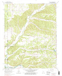
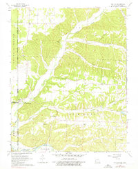
Editions of this 1965 Tiff City Map
3 editions found
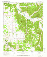
Historical Maps of Hart Through Time
27 maps found
1965 South West City
McDonald County, MO
1965 Tiff City
McDonald County, MO
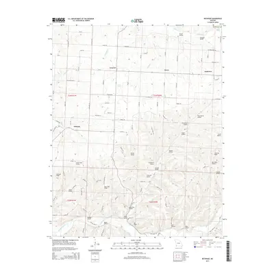
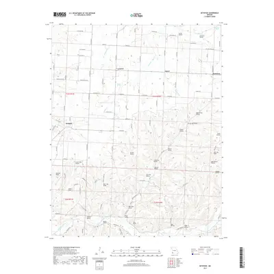
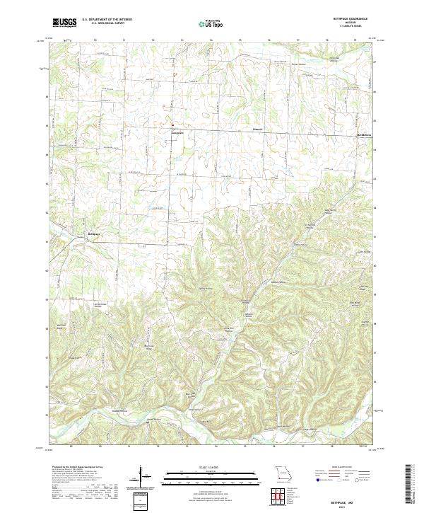
1982 Bethpage
McDonald County, MO
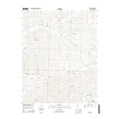
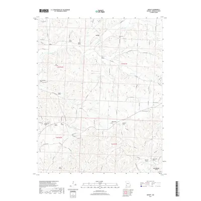
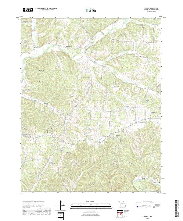
1982 McNatt
McDonald County, MO
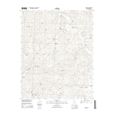
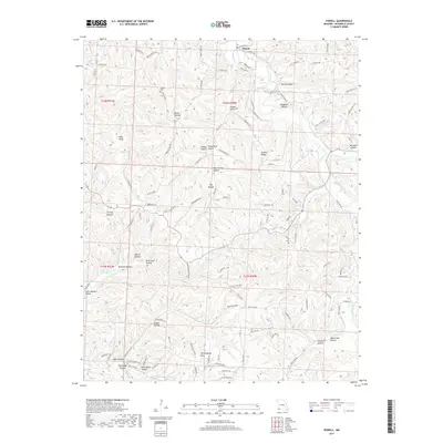
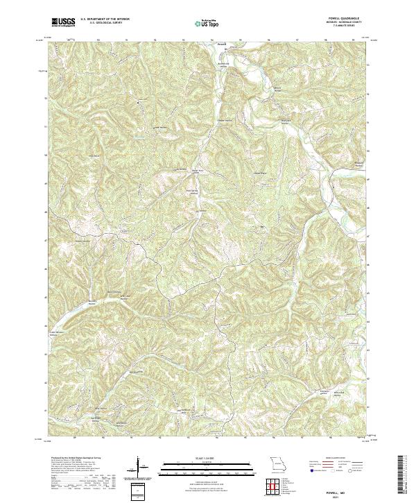
1982 Powell
McDonald County, MO

2010 South West City
McDonald County, MO
2010 Tiff City
McDonald County, MO
2012 Bethpage
McDonald County, MO
2012 McNatt
McDonald County, MO
2012 Powell
McDonald County, MO

2012 South West City
McDonald County, MO
2012 Tiff City
McDonald County, MO
2015 Bethpage
McDonald County, MO
2015 McNatt
McDonald County, MO
2015 Powell
McDonald County, MO

2015 South West City
McDonald County, MO
2015 Tiff City
McDonald County, MO
2017 Bethpage
McDonald County, MO
2017 McNatt
McDonald County, MO
2017 Powell
McDonald County, MO

2017 South West City
McDonald County, MO
2017 Tiff City
McDonald County, MO
2021 Bethpage
McDonald County, MO
2021 McNatt
McDonald County, MO
2021 Powell
McDonald County, MO
2021 South West City
McDonald County, MO
2021 Tiff City
McDonald County, MO