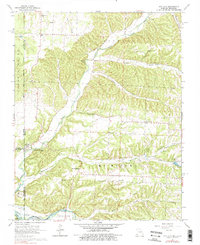
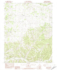
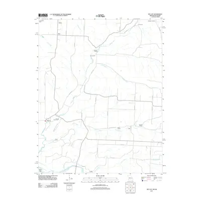
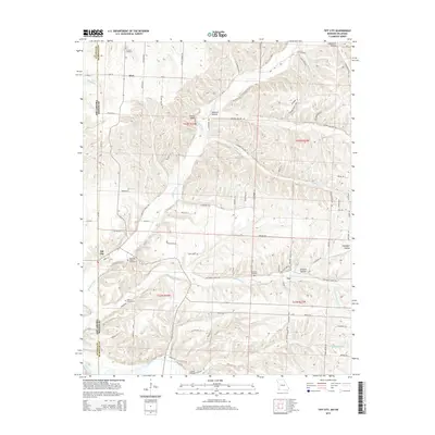
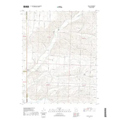
1965 Map of Tiff City
USGS Topo · Published 1976About this map
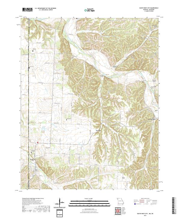
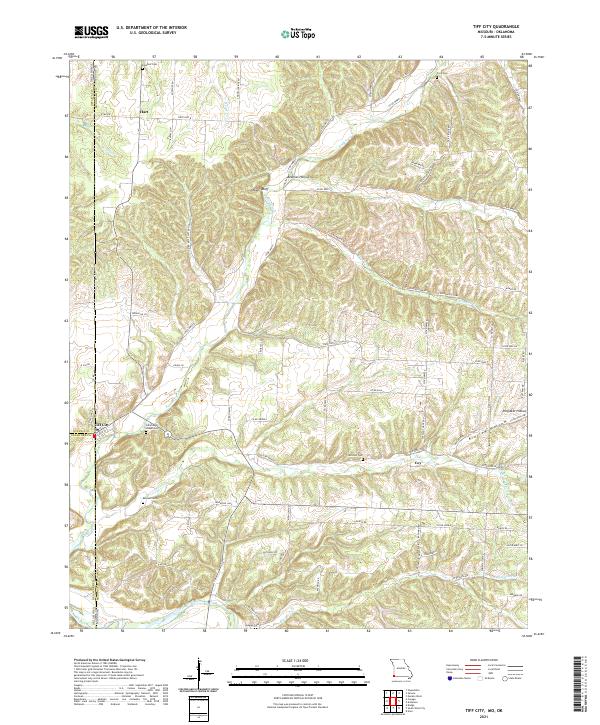
Tiff City sits at the western edge of Missouri on this mid-1960s survey, marking a distinct transition where the hills of the Ozarks meet the Oklahoma border. The landscape is defined by the winding course of Buffalo Creek and the Elk River, which cut through a terrain of hollows and bluffs like Owens Bluff. Small agrarian communities and family-named landmarks are scattered throughout, including Hart in the north and Patterson Heights further south.
Find a feature on this map
39 named features on this map. Tap any name to fly to it.
Don’t see what you’re looking for? This feature index may not catch every label — zoom into the map to look around manually.
Map Details
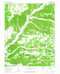
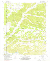
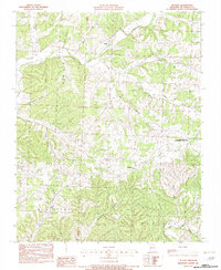
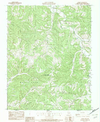
Editions of this 1965 Tiff City Map
3 editions found
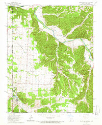
Historical Maps of Hart Through Time
27 maps found
1965 South West City
McDonald County, MO
1965 Tiff City
McDonald County, MO
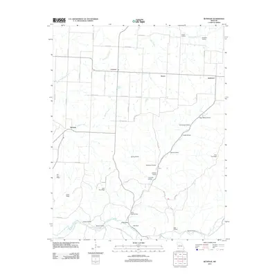
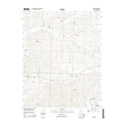
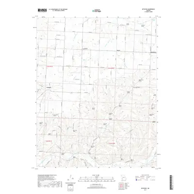
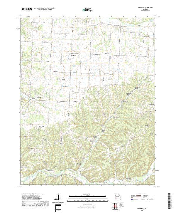
1982 Bethpage
McDonald County, MO
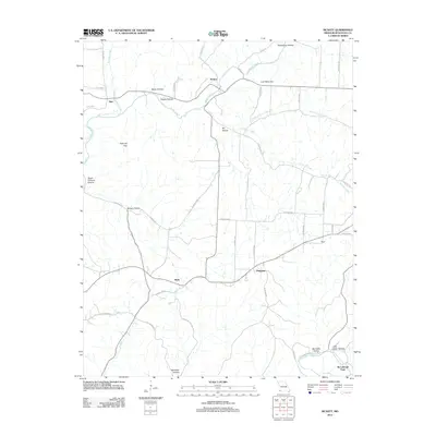
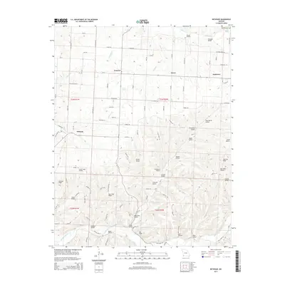
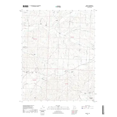
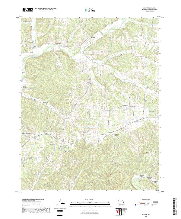
1982 McNatt
McDonald County, MO
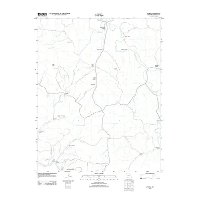
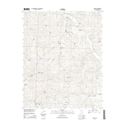
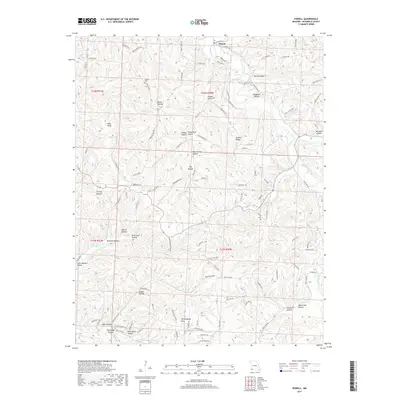
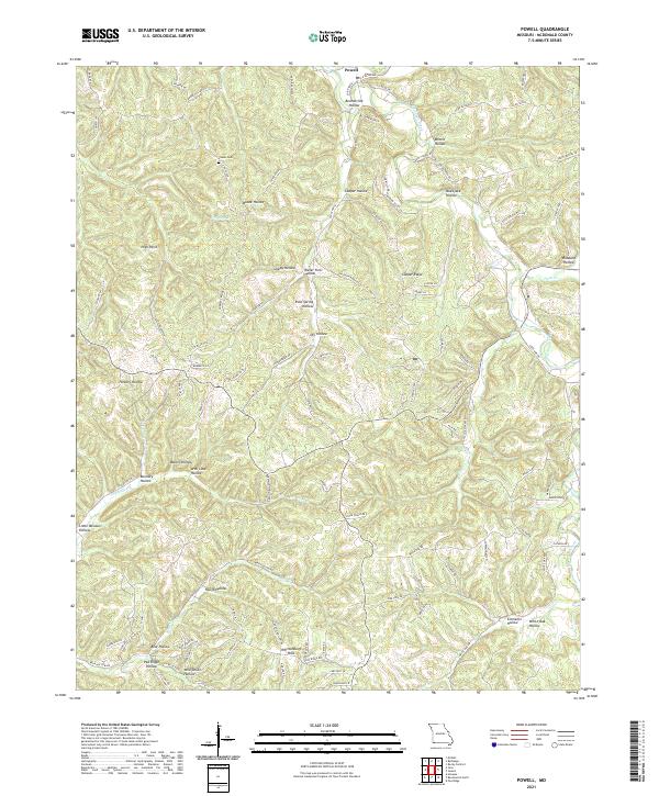
1982 Powell
McDonald County, MO

2010 South West City
McDonald County, MO
2010 Tiff City
McDonald County, MO
2012 Bethpage
McDonald County, MO
2012 McNatt
McDonald County, MO
2012 Powell
McDonald County, MO

2012 South West City
McDonald County, MO
2012 Tiff City
McDonald County, MO
2015 Bethpage
McDonald County, MO
2015 McNatt
McDonald County, MO
2015 Powell
McDonald County, MO

2015 South West City
McDonald County, MO
2015 Tiff City
McDonald County, MO
2017 Bethpage
McDonald County, MO
2017 McNatt
McDonald County, MO
2017 Powell
McDonald County, MO

2017 South West City
McDonald County, MO
2017 Tiff City
McDonald County, MO
2021 Bethpage
McDonald County, MO
2021 McNatt
McDonald County, MO
2021 Powell
McDonald County, MO
2021 South West City
McDonald County, MO
2021 Tiff City
McDonald County, MO