Loading...
Loading map...2023 Map of Tiffin North
USGS Topo · Published 2023About this map
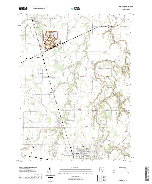
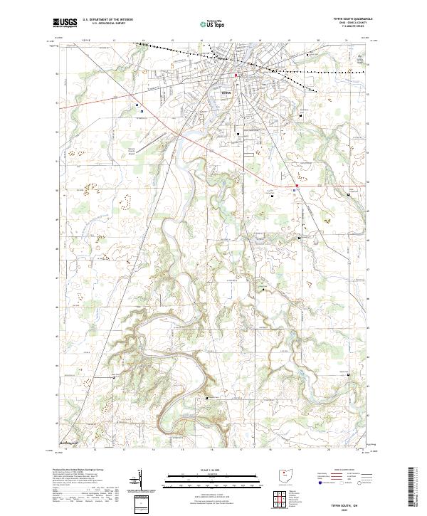
The Sandusky River winds northward through this portion of Seneca County, serving as a primary corridor for the communities of Fort Seneca and Old Fort. To the south, the northern periphery of Tiffin is visible, showing a dense street grid including 8th Ave and Dallas St. The landscape is defined by its drainage systems, where East Branch Wolf Creek and Snuff Creek intersect the agricultural tableland between smaller settlements like Maple Grove and Cromers.
Find a feature on this map
124 named features on this map. Tap any name to fly to it.
Don’t see what you’re looking for? This feature index may not catch every label — zoom into the map to look around manually.
Map Details
Date Portrayed2023
Date Published2023
PublisherU.S. Geological Survey
Map TypeTopographic
Scale1:24000
Physical Dimensions24 x 29 inches
Editions of this 2023 Tiffin North Map
This is the sole edition of this map. No revisions or reprints were ever made.
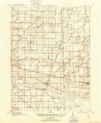
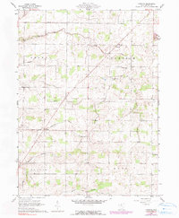
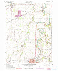
Historical Maps of Tiffin Through Time
9 maps found

Featured Locations
- Tiffin, OH
- Hopewell Township, OH
- Liberty Township, OH
- Pleasant Township, OH
- Bettsville, Liberty Township
Source Details
SourceU.S. Geological Survey
CopyrightPublic Domain