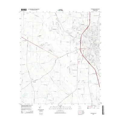
2014 Map of Tifton West
USGS Topo · Published 2014About this map
The Abraham Baldwin Agricultural Coll serves as a prominent landmark in this Georgia landscape, situated just west of the city of Tifton. The terrain is defined by the winding course of the Little River and numerous agricultural and recreational water bodies like Agrirama Lake and Fullwood Lake. This 2014 survey captures a mix of established residential areas and small outlying settlements such as Pebblebrook, Hillsdale, and Kelttown.
Find a feature on this map
232 named features on this map. Tap any name to fly to it.
Don’t see what you’re looking for? This feature index may not catch every label — zoom into the map to look around manually.
Map Details
Editions of this 2014 Tifton West Map
This is the sole edition of this map. No revisions or reprints were ever made.
Other maps of this area

1953 · Waycross
USGS Topo · 1:250,000

1958 · Waycross
USGS Topo · 1:250,000

1973 · Sumner
USGS Topo · 1:24,000

1973 · Ty Ty
USGS Topo · 1:24,000

1973 · Norman Park
USGS Topo · 1:24,000

1973 · Waterloo
USGS Topo · 1:24,000

1973 · Lenox
USGS Topo · 1:24,000

1973 · Chula
USGS Topo · 1:24,000

1973 · Tifton East
USGS Topo · 1:24,000

1973 · Tifton West
USGS Topo · 1:24,000