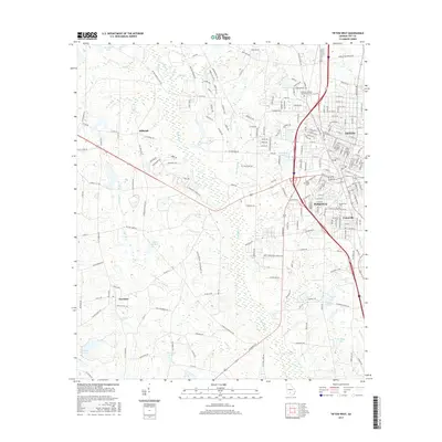
2017 Map of Tifton West
USGS Topo · Published 2017About this map
Abraham Baldwin Agricultural Coll serves as a prominent landmark on the northern edge of Tifton, anchoring a landscape where academic growth meets South Georgia’s rural traditions. This 2017 survey details the western expansion of the city, showing the developed corridors of Phillipsburg and Unionville as they transition into the agricultural surroundings of Tift County. The terrain is defined by the winding course of the Little River, which receives numerous tributaries including Old Field Cr and Cow House Br.
Find a feature on this map
223 named features on this map. Tap any name to fly to it.
Don’t see what you’re looking for? This feature index may not catch every label — zoom into the map to look around manually.
Map Details
Editions of this 2017 Tifton West Map
This is the sole edition of this map. No revisions or reprints were ever made.
Other maps of this area

1953 · Waycross
USGS Topo · 1:250,000

1958 · Waycross
USGS Topo · 1:250,000

1973 · Sumner
USGS Topo · 1:24,000

1973 · Ty Ty
USGS Topo · 1:24,000

1973 · Norman Park
USGS Topo · 1:24,000

1973 · Waterloo
USGS Topo · 1:24,000

1973 · Lenox
USGS Topo · 1:24,000

1973 · Chula
USGS Topo · 1:24,000

1973 · Tifton East
USGS Topo · 1:24,000

1973 · Tifton West
USGS Topo · 1:24,000