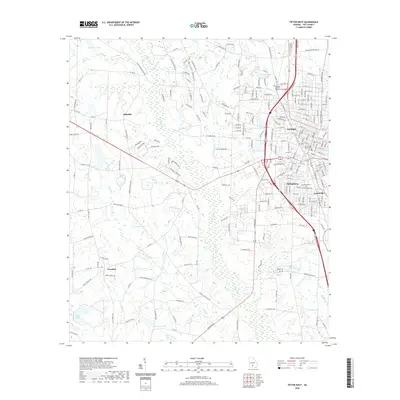
2020 Map of Tifton West
USGS Topo · Published 2020About this map
Tifton serves as the focal point of this South Georgia landscape, where the town's grid expands toward the rural corridors of Tift County. The western reach of the city is defined by the extensive grounds of Abraham Baldwin Agricultural College, a cornerstone of the regional identity. Residential growth is evident in neighboring communities like Phillipsburg and Unionville, while the Tift County Courthouse remains the civic heart of the area.
Find a feature on this map
211 named features on this map. Tap any name to fly to it.
Don’t see what you’re looking for? This feature index may not catch every label — zoom into the map to look around manually.
Map Details
Editions of this 2020 Tifton West Map
This is the sole edition of this map. No revisions or reprints were ever made.
Other maps of this area

1953 · Waycross
USGS Topo · 1:250,000

1958 · Waycross
USGS Topo · 1:250,000

1973 · Sumner
USGS Topo · 1:24,000

1973 · Ty Ty
USGS Topo · 1:24,000

1973 · Norman Park
USGS Topo · 1:24,000

1973 · Waterloo
USGS Topo · 1:24,000

1973 · Lenox
USGS Topo · 1:24,000

1973 · Chula
USGS Topo · 1:24,000

1973 · Tifton East
USGS Topo · 1:24,000

1973 · Tifton West
USGS Topo · 1:24,000