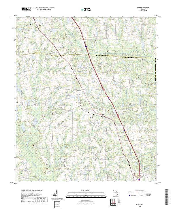
2024 Map of Tifton West
USGS Topo · Published 2024About this map
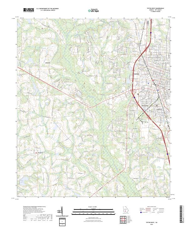
The Abraham Baldwin Agricultural College serves as a prominent landmark in the northern reaches of Tifton, where the urban landscape of South Georgia meets a complex network of wetlands and creeks. The terrain is defined by the winding course of the Little River, which draws a serpentine boundary through the center of the sheet, fed by tributaries like Arnold Creek and Cow House Branch. This 2024 survey captures the distinct neighborhood divisions of the area, including Phillipsburg and Unionville, alongside the administrative hub at the Tift County Courthouse. Beyond the city limits, the map transitions into a rural landscape of named lakes such as Marchant Lake and Jones Lake, and outlying communities like Hillsdale and Excelsior. Local history is preserved in the detailed marking of Oak Ridge Cem and Greenwood Cem, providing a precise record of the regional settlement pattern and its proximity to the interstate and rail corridors.
Find a feature on this map
220 named features on this map. Tap any name to fly to it.
Don’t see what you’re looking for? This feature index may not catch every label — zoom into the map to look around manually.
Map Details
Editions of this 2024 Tifton West Map
This is the sole edition of this map. No revisions or reprints were ever made.
Historical Maps of Pebblebrook Through Time
6 maps found