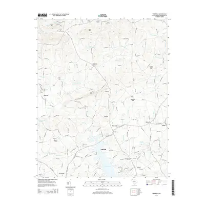
2014 Map of Tigerville
USGS Topo · Published 2014About this map
The Middle Tyger River and S Tyger River define the rolling Upstate landscape of this Greenville County area, where small rural communities like Tigerville, Highland, and Lendaw sit among the foothills. The presence of North Greenville Univ anchors the western edge of the map, while the expansive Lake Robinson dominates the southern reaches. This modern survey illustrates the persistent rural character of the region, marked by numerous family and community burial grounds such as Mt Pleasant Cem, Ebenezer Cem, and the Bartons Memorial Chapel Cem.
Find a feature on this map
178 named features on this map. Tap any name to fly to it.
Don’t see what you’re looking for? This feature index may not catch every label — zoom into the map to look around manually.
Map Details
Editions of this 2014 Tigerville Map
This is the sole edition of this map. No revisions or reprints were ever made.
Other maps of this area

1907 · Saluda
USGS Topo · 1:125,000

1935 · Greer
USGS Topo · 1:48,000

1935 · Greenville
USGS Topo · 1:48,000

1935 · Zirconia
USGS Topo · 1:24,000

1938 · Greenville
USGS Topo · 1:62,500

1938 · Greer
USGS Topo · 1:62,500

1946 · Zirconia
USGS Topo · 1:24,000
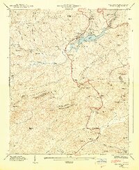
1947 · Zirconia
USGS Topo · 1:24,000
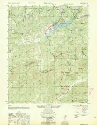
1954 · Zirconia
USGS Topo · 1:25,000

1954 · Greenville
USGS Topo · 1:250,000