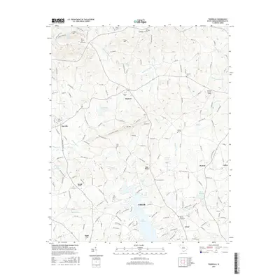
2017 Map of Tigerville
USGS Topo · Published 2017About this map
The Middle Tyger River and its various tributaries carve through the upstate landscape, defining the topography between Tigerville and Blue Ridge. This 2017 survey highlights a transition from the higher elevations of the Blue Ridge foothills, marked by Pax Mtn and Tillet Mtn, down toward the waters of Lake Robinson and Edwards Lake. The area's deep-rooted community history is reflected in the high density of rural burial grounds, including Mount Pleasant Cem, Highland Cem, and the Bartons Memorial Chapel Cem.
Find a feature on this map
172 named features on this map. Tap any name to fly to it.
Don’t see what you’re looking for? This feature index may not catch every label — zoom into the map to look around manually.
Map Details
Editions of this 2017 Tigerville Map
This is the sole edition of this map. No revisions or reprints were ever made.
Other maps of this area

1907 · Saluda
USGS Topo · 1:125,000

1935 · Greer
USGS Topo · 1:48,000

1935 · Greenville
USGS Topo · 1:48,000

1935 · Zirconia
USGS Topo · 1:24,000

1938 · Greenville
USGS Topo · 1:62,500

1938 · Greer
USGS Topo · 1:62,500

1946 · Zirconia
USGS Topo · 1:24,000
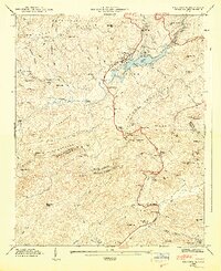
1947 · Zirconia
USGS Topo · 1:24,000
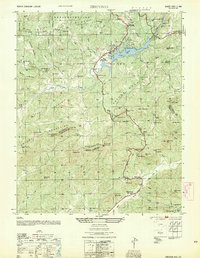
1954 · Zirconia
USGS Topo · 1:25,000

1954 · Greenville
USGS Topo · 1:250,000