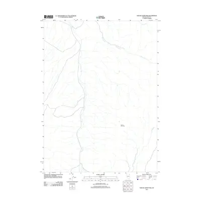
2012 Map of Tijuana John Peak
USGS Topo · Published 2012About this map
Tijuana John Peak stands as the primary topographical landmark in this high-desert portion of Elko County. The landscape is defined by its drainage systems, most notably the long course of Trout Creek which runs north-to-south through the center of the quadrangle. In the northeast, Willow Creek and Cow Creek further delineate the arid terrain. This 2012 survey illustrates the sparse human footprint in this corner of Nevada, where the map is characterized by significant vertical relief and the intricate web of seasonal watercourses. The lack of named settlements or heavy infrastructure highlights the open, undisturbed nature of the Great Basin landscape during the early 21st century.
Find a feature on this map
4 named features on this map. Tap any name to fly to it.
Don’t see what you’re looking for? This feature index may not catch every label — zoom into the map to look around manually.
Map Details
Editions of this 2012 Tijuana John Peak Map
This is the sole edition of this map. No revisions or reprints were ever made.
Other maps of this area

1955 · Wells
USGS Topo · 1:250,000
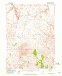
1957 · Delaplain
USGS Topo · 1:62,500

1958 · Wells
USGS Topo · 1:250,000

1961 · Wells
USGS Topo · 1:250,000
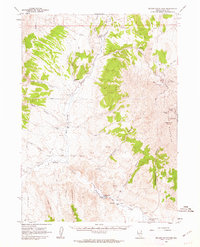
1961 · Delano Mountains
USGS Topo · 1:62,500
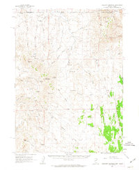
1961 · Gollaher Mountain
USGS Topo · 1:62,500
1968 · Blanchard Mtn
USGS Topo · 1:24,000
1968 · Texas Spring
USGS Topo · 1:24,000
1982 · Jackpot
USGS Topo · 1:100,000
1989 · Jackpot
USGS Topo · 1:24,000