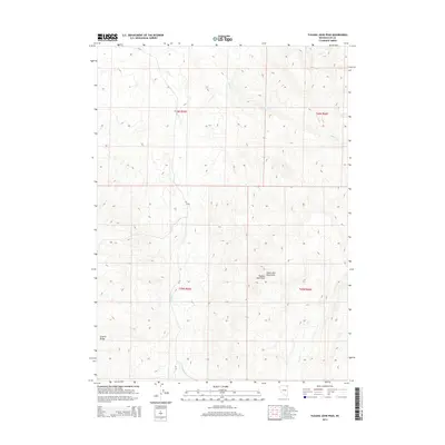
2014 Map of Tijuana John Peak
USGS Topo · Published 2014About this map
Tijuana John Peak and the surrounding Toana John Mountains dominate this high-desert landscape in northeastern Nevada. This area is characterized by high-elevation drainage systems, where several seasonal waterways like Trout Cr and Willow Cr carve through the basin and range topography. The map illustrates the transition from the mountain peaks toward the Granite Range to the southwest, capturing a pocket of Elko County largely defined by its natural landforms rather than permanent settlements. Transport through this remote terrain is limited to routes like CR-771, reflecting a land use pattern focused on ranching or mineral interests within the survey townships of t46n r65e and t45n r65e.
Find a feature on this map
11 named features on this map. Tap any name to fly to it.
Don’t see what you’re looking for? This feature index may not catch every label — zoom into the map to look around manually.
Map Details
Editions of this 2014 Tijuana John Peak Map
This is the sole edition of this map. No revisions or reprints were ever made.
Other maps of this area

1955 · Wells
USGS Topo · 1:250,000
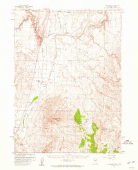
1957 · Delaplain
USGS Topo · 1:62,500

1958 · Wells
USGS Topo · 1:250,000

1961 · Wells
USGS Topo · 1:250,000
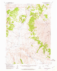
1961 · Delano Mountains
USGS Topo · 1:62,500
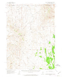
1961 · Gollaher Mountain
USGS Topo · 1:62,500
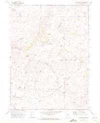
1968 · Blanchard Mtn
USGS Topo · 1:24,000
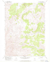
1968 · Texas Spring
USGS Topo · 1:24,000
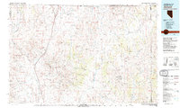
1982 · Jackpot
USGS Topo · 1:100,000
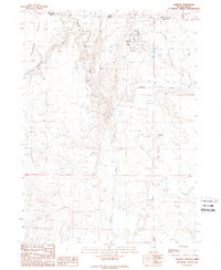
1989 · Jackpot
USGS Topo · 1:24,000