
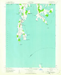
1942 Map of Tilghman
USGS Topo · Published 1942About this map
Tilghman Island is the center of this 1942 maritime survey, anchored by the settlements of Tilghman, Avalon, and Fairbank. The island is separated from the mainland district of Bay Hundred No 5 by Knapps Narrows, where the Tilghman Island Landing facilitates transit. The survey highlights a landscape dominated by the water economy, featuring the Dogwood Harbor and a Weather Bureau Tower at Bar Neck.
Find a feature on this map
45 named features on this map. Tap any name to fly to it.
Don’t see what you’re looking for? This feature index may not catch every label — zoom into the map to look around manually.
Map Details
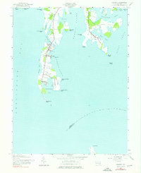
Editions of this 1942 Tilghman Map
Other maps of this area

1892 · Annapolis
USGS Topo · 1:62,500

1893 · Sharps Island
USGS Topo · 1:62,500

1898 · Choptank
USGS Topo · 1:125,000

1904 · St. Michaels
USGS Topo · 1:62,500

1904 · Annapolis
USGS Topo · 1:62,500

1904 · Sharps Island
USGS Topo · 1:62,500

1904 · Oxford
USGS Topo · 1:62,500

1908 · Choptank
USGS Topo · 1:125,000

1942 · Oxford
USGS Topo · 1:31,680

1942 · Church Creek
USGS Topo · 1:24,000