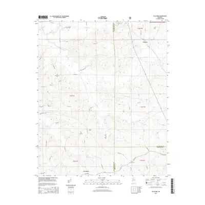
2015 Map of Tillatoba
USGS Topo · Published 2015About this map
Tillatoba anchors this northern Mississippi landscape, situated at the border of Tallahatchie and Yalobusha counties. The town is surrounded by a dense network of country roads like Old US 51 and Tatum Pond Rd, leading to smaller settlements such as Paul and Rosebloom. The terrain is defined by the complex drainage of Tillatoba Creek and its various branches, including the South Fork Tillatoba Creek. Genealogists will find several burial grounds across the quadrangle, including Pine Grove Cem and Saint Pauls Cem. To the northwest, the map shows the southern reaches of the Holly Springs National Forest, while the southwest is marked by the waters of Lake Ascalmore. The distribution of these features suggests a region of small rural communities and timberland connected by long-established local corridors.
Find a feature on this map
70 named features on this map. Tap any name to fly to it.
Don’t see what you’re looking for? This feature index may not catch every label — zoom into the map to look around manually.
Map Details
Editions of this 2015 Tillatoba Map
This is the sole edition of this map. No revisions or reprints were ever made.
Other maps of this area

1932 · Philipp
USGS Topo · 1:48,000

1935 · Crowder
USGS Topo · 1:62,500

1935 · Philipp
USGS Topo · 1:62,500

1939 · Crowder
USGS Topo · 1:62,500

1939 · Philipp
USGS Topo · 1:62,500

1948 · Helena
USGS Topo · 1:250,000

1950 · Helena
USGS Topo · 1:250,000

1953 · Greenwood
USGS Topo · 1:250,000

1953 · West Point
USGS Topo · 1:250,000

1954 · Grenada
USGS Topo · 1:62,500