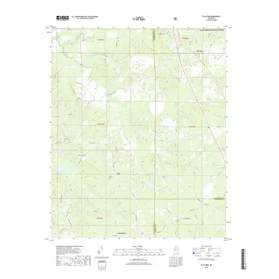
2018 Map of Tillatoba
USGS Topo · Published 2018About this map
Tillatoba and the surrounding rural landscape of Tallahatchie County are defined by the winding tributaries of Tillatoba Creek and the South Fork Tillatoba Creek. This 2018 survey illustrates a region where local history is preserved in its many small cemeteries and community hubs, including Rosebloom and the small settlement of Paul. The northeastern corner of the map reaches into the Holly Springs National Forest, while the southwestern portion is marked by the waters of Lake Ascalmore.
Find a feature on this map
77 named features on this map. Tap any name to fly to it.
Don’t see what you’re looking for? This feature index may not catch every label — zoom into the map to look around manually.
Map Details
Editions of this 2018 Tillatoba Map
This is the sole edition of this map. No revisions or reprints were ever made.
Other maps of this area

1932 · Philipp
USGS Topo · 1:48,000

1935 · Crowder
USGS Topo · 1:62,500

1935 · Philipp
USGS Topo · 1:62,500

1939 · Crowder
USGS Topo · 1:62,500

1939 · Philipp
USGS Topo · 1:62,500

1948 · Helena
USGS Topo · 1:250,000

1950 · Helena
USGS Topo · 1:250,000

1953 · Greenwood
USGS Topo · 1:250,000

1953 · West Point
USGS Topo · 1:250,000

1954 · Grenada
USGS Topo · 1:62,500