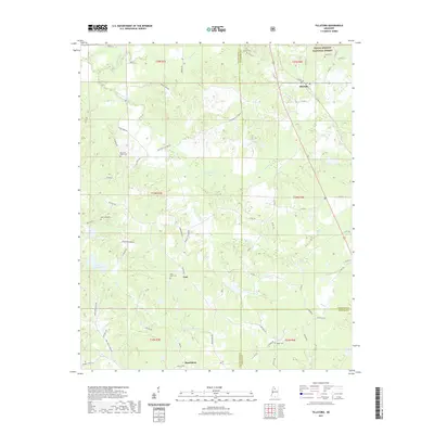
2021 Map of Tillatoba
USGS Topo · Published 2021About this map
Tillatoba anchors the northeastern corner of this landscape, where the Holly Springs National Forest meets a network of creeks and small settlements. The terrain is defined by the winding paths of Tillatoba Creek and its South Fork, alongside Ascalmore Creek which feeds into Lake Ascalmore. This geography has long dictated the placement of rural communities like Paul and Rosebloom, which sit along the transition between Tallahatchie and Grenada counties. The map preserves the locations of numerous historic burial grounds, including Saint Pauls Cemetery, Chestnut Grove Cemetery, and New Hope Cemetery, offering a detailed view of the region's genealogical footprint. Roads like Murphreesboro Road and Holland-Tillatoba Road link these scattered points of interest, tracing the path of local commerce and community through the wooded and agricultural lands of north-central Mississippi.
Find a feature on this map
77 named features on this map. Tap any name to fly to it.
Don’t see what you’re looking for? This feature index may not catch every label — zoom into the map to look around manually.
Map Details
Editions of this 2021 Tillatoba Map
This is the sole edition of this map. No revisions or reprints were ever made.
Other maps of this area

1932 · Philipp
USGS Topo · 1:48,000

1935 · Crowder
USGS Topo · 1:62,500

1935 · Philipp
USGS Topo · 1:62,500

1939 · Crowder
USGS Topo · 1:62,500

1939 · Philipp
USGS Topo · 1:62,500

1948 · Helena
USGS Topo · 1:250,000

1950 · Helena
USGS Topo · 1:250,000

1953 · Greenwood
USGS Topo · 1:250,000

1953 · West Point
USGS Topo · 1:250,000

1954 · Grenada
USGS Topo · 1:62,500