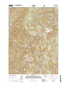
2014 Map of Tiller
USGS Topo · Published 2014About this map
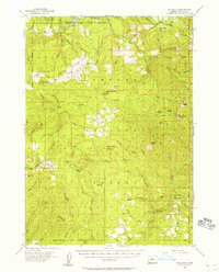
Tiller and the small settlement of Drew occupy the valley floor where Elk Cr meets the South Umpqua River in southern Douglas County. This 2014 survey documents a landscape dominated by the Umpqua National Forest, where topography rises sharply from the riverbanks toward high points like Rondeau Butte and O'Neill Butte. Genealogical interest is found in local burial grounds including Coffee Creek Cem, Rondeau Cem, and Rainville Cem, which sit near the primary corridor of the Tiller Trail Hwy. The map details the complex drainage system of the western Cascades, following Coffee Creek and Deadman Creek through timbered slopes. Notable geologic and hydrological features include the Dompier Creek Slide Area, the high meadows of Callahan Ridge, and the Joseph Reed Reservoir tucked away in the upper elevations.
Find a feature on this map
60 named features on this map. Tap any name to fly to it.
Don’t see what you’re looking for? This feature index may not catch every label — zoom into the map to look around manually.
Map Details
Editions of this 2014 Tiller Map
This is the sole edition of this map. No revisions or reprints were ever made.
Other maps of this area
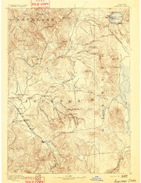
1891 · Ashland
USGS Topo · 1:250,000
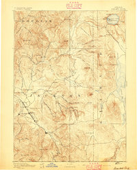
1893 · Ashland
USGS Topo · 1:250,000

1897 · Roseburg
USGS Topo · 1:125,000
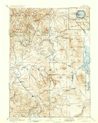
1897 · Ashland
USGS Topo · 1:250,000

1900 · Roseburg
USGS Topo · 1:125,000
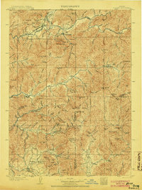
1904 · Riddle
USGS Topo · 1:125,000
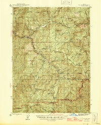
1944 · Tiller
USGS Topo · 1:62,500
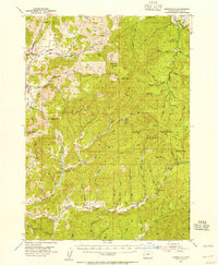
1954 · Dixonville
USGS Topo · 1:62,500
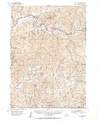
1954 · Days Creek
USGS Topo · 1:62,500
1955 · Red Butte
USGS Topo · 1:62,500