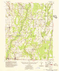
1956 Map of Tilton
USGS Topo · Published 1956About this map
McCrory and Patterson anchor the southern reach of this landscape, situated along the Missouri Pacific railroad in a region defined by complex water management and rural church communities. The 1950s survey reveals an intricate network of drainage and flood control features such as Cow Lake Ditch, Pea Ridge Canal, and the Little Bayou De View, reflecting the mid-century transformation of the Arkansas Delta. These engineering works stand alongside long-established local centers including Beedeville, Tupelo, and Weldon.
Find a feature on this map
64 named features on this map. Tap any name to fly to it.
Don’t see what you’re looking for? This feature index may not catch every label — zoom into the map to look around manually.
Map Details
Editions of this 1956 Tilton Map
This is the sole edition of this map. No revisions or reprints were ever made.
Other maps of this area
1935 · Newport
USGS Topo · 1:62,500
1935 · Augusta
USGS Topo · 1:62,500
1935 · Tuckerman
USGS Topo · 1:62,500
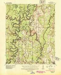
1935 · Gregory
USGS Topo · 1:62,500
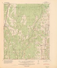
1939 · Vanndale
USGS Topo · 1:62,500
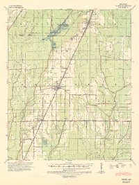
1939 · Weiner
USGS Topo · 1:62,500
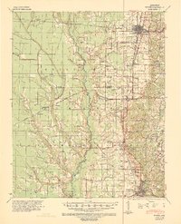
1939 · Wynne
USGS Topo · 1:62,500
1939 · Hunter
USGS Topo · 1:62,500
1940 · Tilton
USGS Topo · 1:62,500

1953 · Memphis
USGS Topo · 1:250,000