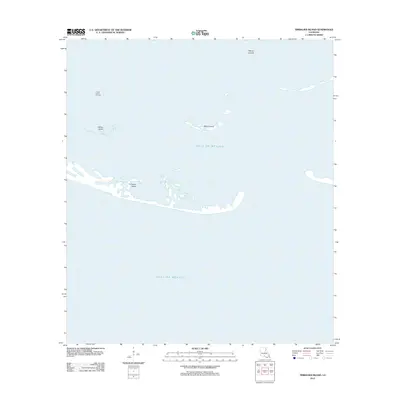
2012 Map of Timbalier Island
USGS Topo · Published 2012About this map
Timbalier Island and the surrounding barrier landforms of the Louisiana coast are captured here in a period of significant environmental transition. This portion of the Gulf of Mexico is defined by a sparse but industrial landscape, where the shifting sands of Caillou Island and Brush Island exist alongside active extraction at the Caillou Island Oil Field. The map illustrates the tenuous nature of these low-lying coastal features, including the Pelican Islands, which serve as vital buffers for the mainland. The presence of the oil field among these eroding landmasses highlights the intersection of the region's petroleum economy and its fragile maritime geography during the early 21st century.
Find a feature on this map
6 named features on this map. Tap any name to fly to it.
Don’t see what you’re looking for? This feature index may not catch every label — zoom into the map to look around manually.
Map Details
Editions of this 2012 Timbalier Island Map
This is the sole edition of this map. No revisions or reprints were ever made.
Other maps of this area

1894 · Timbalier
USGS Topo · 1:62,500

1935 · Timbalier Island
USGS Topo · 1:31,680

1935 · Pelican Pass
USGS Topo · 1:31,680

1935 · Calumet Island
USGS Topo · 1:31,680

1945 · Lake La Graisse
USGS Topo · 1:31,680

1945 · New Orleans
USGS Topo · 1:250,000

1946 · Lake La Graisse
USGS Topo · 1:31,680

1947 · Jacko Bay
USGS Topo · 1:31,680
1953 · Jacko Bay
USGS Topo · 1:24,000
1953 · Calumet Island
USGS Topo · 1:24,000