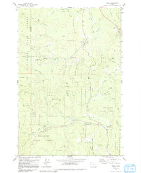
1979 Map of Timber
USGS Topo · Published 1991About this map
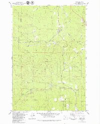
The Nehalem River and Cochran River converge in this densely wooded region of the Tillamook State Forest, where the transition from 1970s timber harvesting to recreational land use is clearly visible. The settlement of Timber serves as a central hub, while the Wedeburg (Site) indicates the location of a former community. Further south, Glenwood is situated near the Little Beaver Creek drainage. The map documents an intricate network of forestry infrastructure, including the TSF rail line and engineering landmarks like the Sunset Tunnel and Walcott Tunnel. Public and specialized facilities, such as the Gales Creek Childrens Camp and Reeher Forest Park, reflect the area's development into a destination for outdoor education and conservation. This survey also records numerous industrial artifacts, including several Borrow Pit locations and a complex system of logging routes ranging from the Cochran Road to remote Jeep Trails.
Find a feature on this map
46 named features on this map. Tap any name to fly to it.
Don’t see what you’re looking for? This feature index may not catch every label — zoom into the map to look around manually.
Map Details
Editions of this 1979 Timber Map
2 editions found
Other maps of this area

1940 · Vernonia
USGS Topo · 1:62,500

1941 · Keasey
USGS Topo · 1:62,500

1941 · Timber
USGS Topo · 1:62,500

1941 · Gales Creek
USGS Topo · 1:62,500

1943 · Vernonia
USGS Topo · 1:62,500

1943 · Keasey
USGS Topo · 1:62,500

1948 · Vancouver
USGS Topo · 1:250,000

1950 · Vancouver
USGS Topo · 1:250,000

1950 · Vancouver
USGS Topo · 1:250,000

1955 · Timber
USGS Topo · 1:62,500