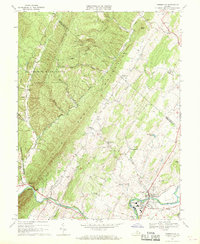
1967 Map of Timberville
USGS Topo · Published 1969About this map
Little North Mountain and Timber Ridge dominate this section of the Shenandoah Valley, where the North Fork Shenandoah River winds through the southern landscape. The town of Timberville serves as a primary hub, situated near the Southern railroad line and industrial sites including sewage disposal ponds and industrial waste ponds. The map illustrates a rural economy transitioning between traditional agriculture and mid-century utility, with numerous crossroads such as Moores Store and Cootes Store maintaining local importance.
Find a feature on this map
50 named features on this map. Tap any name to fly to it.
Don’t see what you’re looking for? This feature index may not catch every label — zoom into the map to look around manually.
Map Details
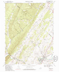
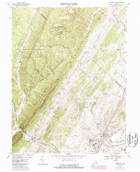
Editions of this 1967 Timberville Map
Other maps of this area

1892 · Woodstock
USGS Topo · 1:125,000

1921 · Orkney Springs
USGS Topo · 1:48,000

1923 · Orkney Springs
USGS Topo · 1:62,500

1923 · Edinburg
USGS Topo · 1:62,500

1940 · Orkney Springs
USGS Topo · 1:48,000

1942 · Mt Jackson
USGS Topo · 1:62,500

1943 · Orkney Springs
USGS Topo · 1:62,500

1944 · Orkney Springs
USGS Topo · 1:62,500

1946 · Mt Jackson
USGS Topo · 1:62,500

1947 · Mt Jackson
USGS Topo · 1:62,500