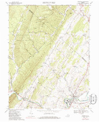
1967 Map of Timberville
USGS Topo · Published 1986About this map
The North Fork Shenandoah River anchors the southern portion of this landscape, where the Southern railroad follows its banks into the industrial and residential core of Timberville. The topography is dominated by the steep, wooded rise of Little North Mountain and Timber Ridge, which contain much of the George Washington National Forest. Between these ridges and the river lies a valley of small agricultural settlements and rural landmarks, including Cootes Store and the clustered dwellings at Honeyville and Mechanicsville.
Find a feature on this map
58 named features on this map. Tap any name to fly to it.
Don’t see what you’re looking for? This feature index may not catch every label — zoom into the map to look around manually.
Map Details
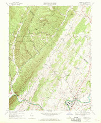
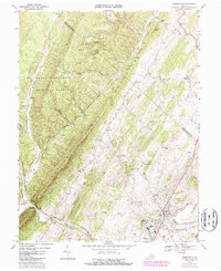
Editions of this 1967 Timberville Map
Other maps of this area

1892 · Woodstock
USGS Topo · 1:125,000

1921 · Orkney Springs
USGS Topo · 1:48,000

1923 · Orkney Springs
USGS Topo · 1:62,500

1923 · Edinburg
USGS Topo · 1:62,500

1940 · Orkney Springs
USGS Topo · 1:48,000

1942 · Mt Jackson
USGS Topo · 1:62,500

1943 · Orkney Springs
USGS Topo · 1:62,500

1944 · Orkney Springs
USGS Topo · 1:62,500

1946 · Mt Jackson
USGS Topo · 1:62,500

1947 · Mt Jackson
USGS Topo · 1:62,500