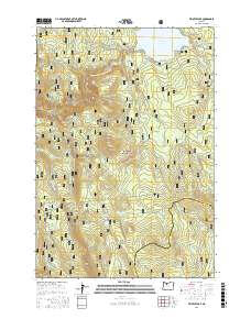
2017 Map of Timothy Lake
USGS Topo · Published 2017About this map
Timothy Lake and its surrounding drainages within the Mount Hood National Forest define the topography of this corner of the High Cascades. The map documents a high-elevation landscape heavily shaped by water and forestry, with the Oak Grove Fork Clackamas River and Stone Cr carving through the terrain. A dense network of National Forest development roads, such as Road 5740 and Road 5810, provides access to the backcountry, reflecting the modern management of these timberlands.
Find a feature on this map
28 named features on this map. Tap any name to fly to it.
Don’t see what you’re looking for? This feature index may not catch every label — zoom into the map to look around manually.
Map Details
Editions of this 2017 Timothy Lake Map
This is the sole edition of this map. No revisions or reprints were ever made.
Other maps of this area
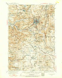
1924 · Mount Hood
USGS Topo · 1:125,000
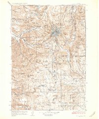
1927 · Mount Hood
USGS Topo · 1:125,000
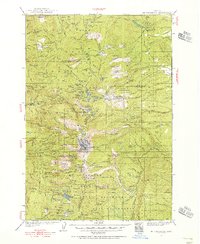
1927 · Mt. Jefferson
USGS Topo · 1:125,000
1930 · Mt. Jefferson
USGS Topo · 1:125,000

1953 · The Dalles
USGS Topo · 1:250,000

1955 · Bend
USGS Topo · 1:250,000

1956 · The Dalles
USGS Topo · 1:250,000
1956 · High Rock
USGS Topo · 1:62,500
1956 · Mt. Wilson
USGS Topo · 1:62,500

1957 · Bend
USGS Topo · 1:250,000