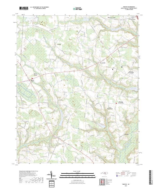
2022 Map of Timothy
USGS Topo · Published 2022About this map
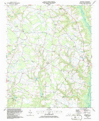
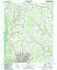
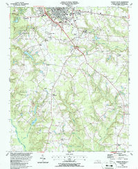
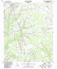
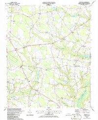
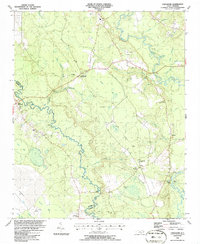
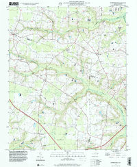
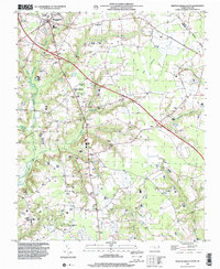
Spivey's Corner and Newton Grove anchor this section of Sampson County, characterized by a dense network of country roads connecting historic crossroads settlements. The landscape is defined by the slow drainage of the Great Coharie Creek and its many tributaries, including the Sevenmile Swamp and Old Mill Swamp. These water systems influenced the early economic life of the region, evidenced by landmarks such as Blackmans Mills and the Warren Millpond. Local family histories are etched into the map through features like McLamb Crossroads, Vann Crossroads, and the Rosin Hill area. Small community burying grounds, including Oak Grove Cem and Little Field Cem, are situated near historic road junctions like those at Timothy. This survey illustrates the persistent rural structure of the North Carolina coastal plain, where geographic identity remains centered on these named intersections and agricultural hamlets.
Find a feature on this map
87 named features on this map. Tap any name to fly to it.
Don’t see what you’re looking for? This feature index may not catch every label — zoom into the map to look around manually.
Map Details
Editions of this 2022 Timothy Map
This is the sole edition of this map. No revisions or reprints were ever made.
Historical Maps of McLamb Crossroads Through Time
20 maps found
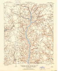
1909 Coharie
Sampson County, NC
1974 Mingo
Sampson County, NC
1978 Dobbersville
Sampson County, NC
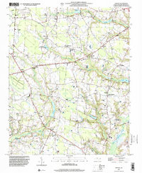
1986 Bearskin
Sampson County, NC
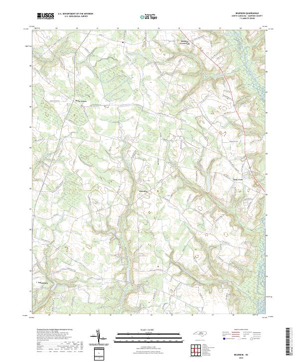
1986 Clinton North
Sampson County, NC
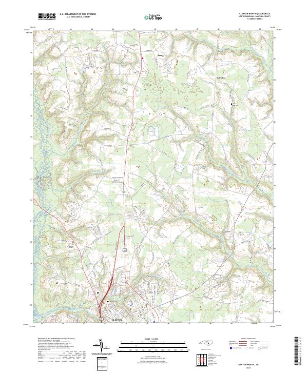
1986 Clinton South
Sampson County, NC
1986 Newton Grove South
Sampson County, NC
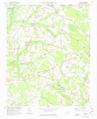
1986 Timothy
Sampson County, NC
1986 Tomahawk
Sampson County, NC
1997 Dobbersville
Sampson County, NC
1997 Newton Grove South
Sampson County, NC
1997 Timothy
Sampson County, NC
2022 Bearskin
Sampson County, NC
2022 Clinton North
Sampson County, NC
2022 Clinton South
Sampson County, NC
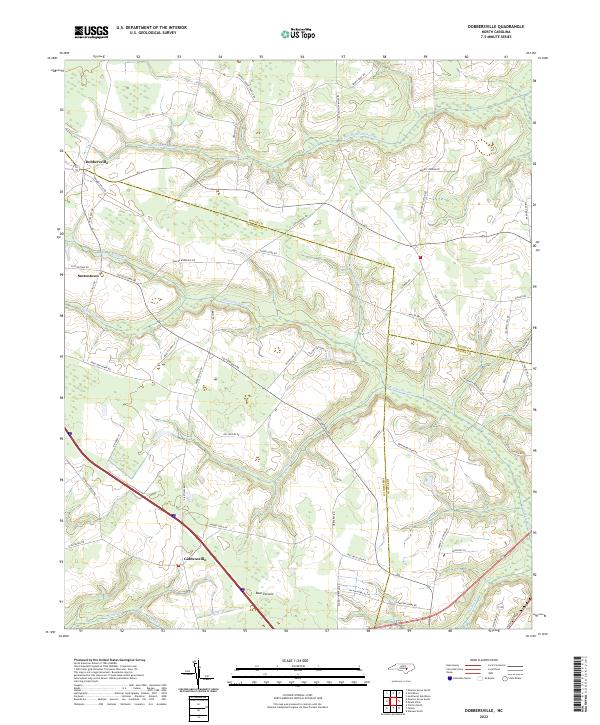
2022 Dobbersville
Sampson County, NC
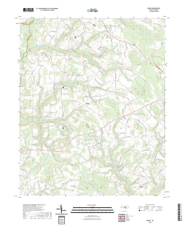
2022 Mingo
Sampson County, NC
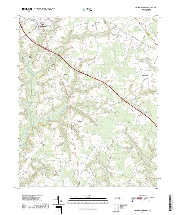
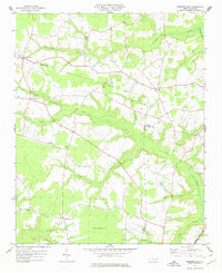
2022 Newton Grove South
Sampson County, NC
2022 Timothy
Sampson County, NC
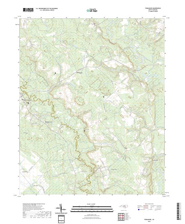
2022 Tomahawk
Sampson County, NC