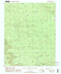
1988 Map of Timp Point
USGS Topo · Published 1988About this map
Kaibab National Forest and the Grand Canyon National Park converge on this North Rim plateau, a landscape defined by dramatic geological transitions and scattered water resources. Mapping from the late 1980s reveals a network of vital tanks and springs, such as Burnt Corral Tank and Parissawampitts Spring, which have long served as essential focal points for travel and land management in this arid environment.
Find a feature on this map
39 named features on this map. Tap any name to fly to it.
Don’t see what you’re looking for? This feature index may not catch every label — zoom into the map to look around manually.
Map Details
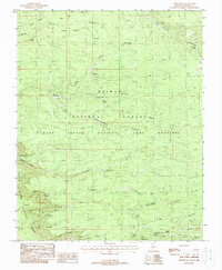
Editions of this 1988 Timp Point Map
2 editions found
Other maps of this area

1886 · Kaibab
USGS Topo · 1:250,000

1936 · Jacobs Lake
USGS Topo · 1:48,000

1940 · Jacob Lake
USGS Topo · 1:62,500

1953 · Jacobs Lake
USGS Topo · 1:62,500

1953 · Grand Canyon
USGS Topo · 1:250,000

1957 · Grand Canyon
USGS Topo · 1:250,000

1958 · Grand Canyon
USGS Topo · 1:250,000

1958 · Big Springs
USGS Topo · 1:62,500

1960 · Grand Canyon
USGS Topo · 1:250,000

1962 · De Motte Park
USGS Topo · 1:62,500