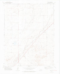
1972 Map of Timpas
USGS Topo · Published 1976About this map
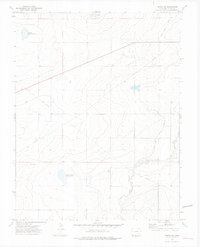
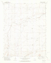
The settlement of Timpas and the smaller station at Ayer anchor this high plains landscape in the early 1970s, where the influence of the Atchison Topeka and Santa Fe railroad is central to the local geography. The map traces the corridor where modern rail infrastructure parallels the storied path of the Santa Fe Trail and Topeka Atchison, marked here by multiple Historical Markers. Water management is critical in this arid Otero County environment, evidenced by the scattered Wells, Flowing Wells, and the Brown Reservoir positioned along the drainage of Timpas Creek and Dry Creek. Away from the main transit routes, the terrain is defined by local features like Round Top and the Lone Tree Arroyo, while the Hoe Ranch Trail and Red Rock Road provide access to the outlying ranch lands.
Find a feature on this map
20 named features on this map. Tap any name to fly to it.
Don’t see what you’re looking for? This feature index may not catch every label — zoom into the map to look around manually.
Map Details
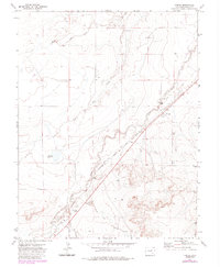
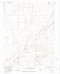
Editions of this 1972 Timpas Map
3 editions found
Other maps of this area

1891 · Timpas
USGS Topo · 1:125,000

1894 · Timpas
USGS Topo · 1:125,000

1955 · La Junta
USGS Topo · 1:250,000

1958 · La Junta
USGS Topo · 1:250,000

1965 · La Junta SW
USGS Topo · 1:24,000
1966 · Hawley
USGS Topo · 1:24,000

1968 · La Junta
USGS Topo · 1:250,000
1972 · Timpas NE
USGS Topo · 1:24,000

1972 · Packers Gap
USGS Topo · 1:24,000
1972 · Timpas SW
USGS Topo · 1:24,000