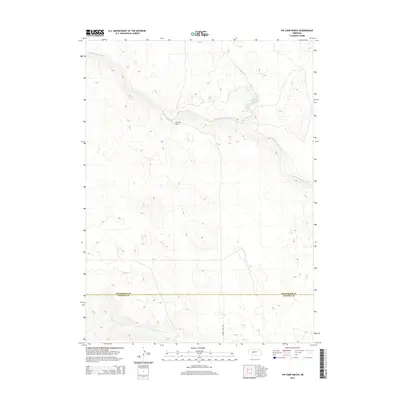
2014 Map of Tin Camp Ranch
USGS Topo · Published 2014About this map
Tin Camp Ranch sits at the heart of this ranching landscape along the upper reaches of the Birdwood Creek system. The map documents a sparsely populated area where the drainage of N Fork Birdwood Cr and Squaw Cr define the northern terrain, while West Birdwood Cr flows through the southern section. Water management is central to the land's utility, marked by features such as the Pawnee Springs Ranch Reservoir in the northeast. The geography transitions across the McPherson Co Lincoln Co boundary, illustrating the remote and specialized nature of Nebraska's western ranchlands. Prairie Trace Rd provides one of the few named transportation corridors through these high plains, highlighting the isolation and vast scale of individual holdings in this region.
Find a feature on this map
7 named features on this map. Tap any name to fly to it.
Don’t see what you’re looking for? This feature index may not catch every label — zoom into the map to look around manually.
Map Details
Editions of this 2014 Tin Camp Ranch Map
This is the sole edition of this map. No revisions or reprints were ever made.
Other maps of this area
1898 · Paxton
USGS Topo · 1:125,000
1901 · Paxton
USGS Topo · 1:125,000
1949 · Flats
USGS Topo · 1:62,500
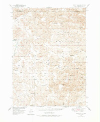
1949 · Wright Valley
USGS Topo · 1:62,500
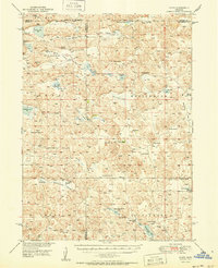
1950 · Flats
USGS Topo · 1:62,500
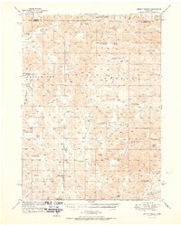
1951 · Wright Valley
USGS Topo · 1:62,500

1954 · North Platte
USGS Topo · 1:250,000

1956 · North Platte
USGS Topo · 1:250,000

1957 · North Platte
USGS Topo · 1:250,000
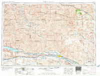
1967 · North Platte
USGS Topo · 1:250,000