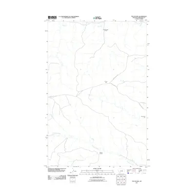
2011 Map of Tin Can Hill
USGS Topo · Published 2011About this map
Blood Creek and Cottonwood Creek define the drainage of this interior Montana landscape, carving a network of coulees across the terrain. The namesake elevation, Tin Can Hill, serves as a central landmark in this ranching country, surrounded by naming conventions that reflect local history such as Camelbratten Coulee and Jackson Coulee. The infrastructure here is sparse and utilitarian, centered on the junction of Upper Tin Can Hill Rd and Lower Tin Can Hill Rd. This 2011 survey captures the area's rural character, where small-scale water management like the Deep Coulee Dam and isolated routes like Gilfeather Rd provide the only significant markers of human presence in the expansive territory.
Find a feature on this map
10 named features on this map. Tap any name to fly to it.
Don’t see what you’re looking for? This feature index may not catch every label — zoom into the map to look around manually.
Map Details
Editions of this 2011 Tin Can Hill Map
This is the sole edition of this map. No revisions or reprints were ever made.
Other maps of this area

1954 · Jordan
USGS Topo · 1:250,000

1954 · Lewistown
USGS Topo · 1:250,000

1956 · Jordan
USGS Topo · 1:250,000

1958 · Jordan
USGS Topo · 1:250,000

1959 · Lewistown
USGS Topo · 1:250,000

1964 · Jordan
USGS Topo · 1:250,000

1967 · Nelson Coulee
USGS Topo · 1:24,000
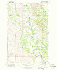
1967 · Fail Ranch
USGS Topo · 1:24,000
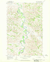
1967 · Bridge Coulee
USGS Topo · 1:24,000
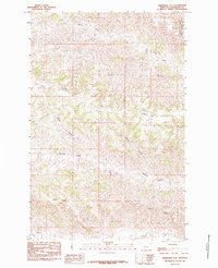
1985 · Kirkendal Flat
USGS Topo · 1:24,000